|
search place name
|
||
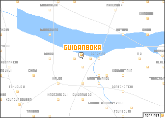
Guidan Boka (Maradi, Niger)Guidan Boka is a town in the Maradi region of Niger. An overview map of the region around Guidan Boka is displayed below.
regional and 3d topo map of Guidan Boka, Niger ::
Guidan Boka airports ::
The nearest airport is MFG - Maradi, located 42.1 km south of Guidan Boka.
Other airports nearby include QUS - Gusau (195.2 km south), ZND - Zinder (200.4 km east), THZ - Tahoua (229.4 km north west), SKO - Sokoto Sadiq Abubakar Iii Intl (234.4 km south west), Nearby towns ::
Zabouré (1.9km south) //
Guidan Kani (1.8km west) //
Guidan Achalou (1.8km east) //
Dan Amina (3.6km east) //
Guidan Agoulou (5.2km south east) //
Dara Amadodo (5.6km south) //
Guidan Abdou (6.5km south east) //
Darey Adamou (6.6km south east) //
Damoa (7.2km west) //
Kalgo (7.7km south west) //
Djongouna (9.1km north west) //
[all distances 'as the bird flies' and approximate] 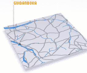 Places with similar names to Guidan Boka, Niger ::
// Katanbouka (CG)
// Guidan Bagay (NE)
// Guidan Bako (NE)
// Guidan Bako (NE)
// Guidan Bako (NE)
// Guidan Bako (NE)
// Guidan Bakoy (NE)
// Guidan Bakoy (NE)
// Guidan Boka (NE)
// Koutiénébougou (ML)
Disclaimer :: Information on this page comes without warranty of any kind |
||
|
Where is Guidan Boka? Elevation and coordinates ::
Latitude (lat): 13°53'0"N Longitude (lon): 7°8'0"E
Elevation (approx.): 360m (map arrows pan, magnifying glasses zoom) |
||
|
Visiting Guidan Boka? Hotel/Accommodation ::
Book a hotel in Guidan Boka Travel Guide ::
Buy a travel guide for Niger rental cars ::
car rental offers GPS waypoint ::
download a GPX waypoint (PoI) of Guidan Boka for your GPS receiver
|
||