|
search place name
|
||
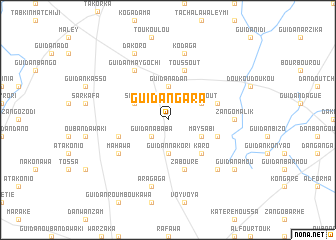
Guidan Gara (Tahoua, Niger)Guidan Gara is a town in the Tahoua region of Niger. An overview map of the region around Guidan Gara is displayed below.
regional and 3d topo map of Guidan Gara, Niger ::
Guidan Gara airports ::
The nearest airport is MFG - Maradi, located 101.0 km east of Guidan Gara.
Other airports nearby include SKO - Sokoto Sadiq Abubakar Iii Intl (150.6 km south west), THZ - Tahoua (158.1 km north west), QUS - Gusau (188.3 km south), Nearby towns ::
Guidan Ababa (2.6km south west) //
Guidan Adan (3.7km north) //
Guidan Nakori (3.7km south) //
Sabré (4.0km north west) //
Toussout (4.0km north east) //
May Sabi (4.0km south east) //
Karo (5.2km south east) //
Bagarwa (5.7km east) //
Toussout (5.8km north) //
Sataro (5.8km north) //
Guidan Chibkao (5.7km east) //
Matiéra (5.7km west) //
Zabouré (5.8km south) //
Guidan May Gochi (6.6km north west) //
Mahawa (6.5km south west) //
Zango Malik (7.2km east) //
Sahabi (7.2km east) //
Kodaga (7.6km north) //
Aragaga (7.6km south) //
Dan Amaria (7.8km south east) //
Dakoro (8.2km north west) //
Guidan Amou (9.1km south east) //
[all distances 'as the bird flies' and approximate] 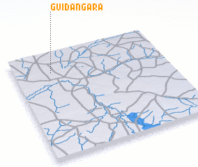 Places with similar names to Guidan Gara, Niger ::
// Guttenacker (AT)
// Kettenacker (DE)
// Cotu Negru (RO)
// Katangar (RU)
// Gadānagar (BD)
// Kāutengar (BD)
// Guidankouarou (BJ)
// Gatunguru (BI)
// Kotongoro I (TD)
// Kotongoro II (TD)
Disclaimer :: Information on this page comes without warranty of any kind |
||
|
Where is Guidan Gara? Elevation and coordinates ::
Latitude (lat): 13°49'0"N Longitude (lon): 6°15'0"E
Elevation (approx.): 324m (map arrows pan, magnifying glasses zoom) |
||
|
Visiting Guidan Gara? Hotel/Accommodation ::
Book a hotel in Guidan Gara Travel Guide ::
Buy a travel guide for Niger rental cars ::
car rental offers GPS waypoint ::
download a GPX waypoint (PoI) of Guidan Gara for your GPS receiver
|
||