|
search place name
|
||
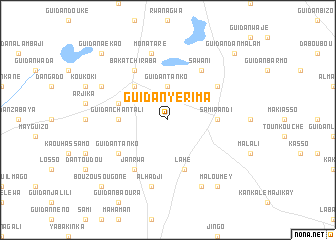
Guidan Yérima (Maradi, Niger)Guidan Yérima is a town in the Maradi region of Niger. An overview map of the region around Guidan Yérima is displayed below.
regional and 3d topo map of Guidan Yérima, Niger ::
Guidan Yérima airports ::
The nearest airport is MFG - Maradi, located 104.5 km south west of Guidan Yérima.
Other airports nearby include ZND - Zinder (159.2 km east), Nearby towns ::
Guidan Tanko (3.7km north) //
Dan Baou (5.2km north west) //
Guidan Chantali (5.4km west) //
Samia Andi (5.4km east) //
Guidan Barmo (5.7km west) //
Lahé (5.8km south) //
Sawani (6.6km north east) //
Fountoun Toudou (6.5km north east) //
Bakatchi Raba (6.6km north west) //
Guidan Tanko (6.5km south west) //
Janrwa (6.6km south west) //
Monataré (7.6km north) //
Alhadji (7.6km south) //
Guidan Dawé (8.1km north west) //
Gobérawa (8.2km south east) //
Maloumey (9.2km south east) //
Guidan Dan Malam (10.3km north east) //
Guidan Aékao (10.3km north west) //
Bouzou Sougoné (10.3km south west) //
[all distances 'as the bird flies' and approximate] 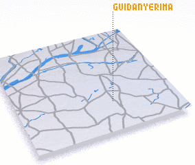 Places with similar names to Guidan Yérima, Niger ::
// Guidan Yérima (NE)
Disclaimer :: Information on this page comes without warranty of any kind |
||
|
Where is Guidan Yérima? Elevation and coordinates ::
Latitude (lat): 14°19'0"N Longitude (lon): 7°37'0"E
Elevation (approx.): 450m (map arrows pan, magnifying glasses zoom) |
||
|
Visiting Guidan Yérima? Hotel/Accommodation ::
Book a hotel in Guidan Yérima Travel Guide ::
Buy a travel guide for Niger rental cars ::
car rental offers GPS waypoint ::
download a GPX waypoint (PoI) of Guidan Yérima for your GPS receiver
|
||