|
search place name
|
||
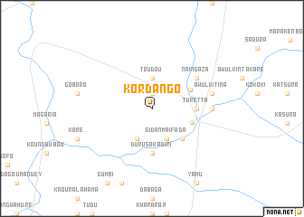
Kordango (Dosso, Niger)Kordango is a town in the Dosso region of Niger. An overview map of the region around Kordango is displayed below.
regional and 3d topo map of Kordango, Niger ::
Kordango airports ::
The nearest airport is SKO - Sokoto Sadiq Abubakar Iii Intl, located 121.5 km south east of Kordango.
Other airports nearby include THZ - Tahoua (175.9 km north east), Nearby towns ::
Saourin Kaïhi (1.9km north) //
Toudou (3.7km north) //
Gidan Maifada (4.1km south east) //
Dan Ganabay (4.1km south west) //
Dabalmawa (5.2km south east) //
Kurdula (5.1km east) //
Kolfa (5.2km north east) //
Durusa Kadiri (5.6km south) //
Turetta (5.4km east) //
Nakigaza (6.6km north east) //
Gwadi (7.2km east) //
Awulkitina (7.4km east) //
[all distances 'as the bird flies' and approximate] 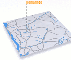 Places with similar names to Kordango, Niger ::
Disclaimer :: Information on this page comes without warranty of any kind |
||
|
Where is Kordango? Elevation and coordinates ::
Latitude (lat): 13°35'0"N Longitude (lon): 4°19'0"E
Elevation (approx.): 269m (map arrows pan, magnifying glasses zoom) |
||
|
Visiting Kordango? Hotel/Accommodation ::
Book a hotel in Kordango Travel Guide ::
Buy a travel guide for Niger rental cars ::
car rental offers GPS waypoint ::
download a GPX waypoint (PoI) of Kordango for your GPS receiver
|
||