|
search place name
|
||
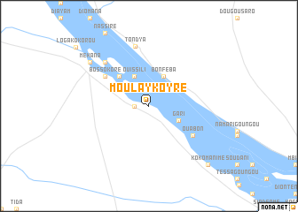
Moulay Koyré (Niamey, Niger)Moulay Koyré is a town in the Niamey region of Niger. An overview map of the region around Moulay Koyré is displayed below.
regional and 3d topo map of Moulay Koyré, Niger ::
Moulay Koyré airports ::
The nearest airport is NIM - Niamey Diori Hamani, located 143.3 km south east of Moulay Koyré.
Other airports nearby include GAQ - Gao (246.8 km north west), Nearby towns ::
Badiola (1.8km west) //
Gari (4.0km south east) //
Bonféba (4.1km north east) //
Ouissili (4.1km north west) //
Adoukoré (5.2km north west) //
Karbassey (5.2km north west) //
Ouabon (6.5km south east) //
Bossokoré (6.5km north west) //
Tondya (7.7km north) //
Farka (7.7km north west) //
Méhana (9.1km north west) //
Kokomanimè (10.3km south east) //
[all distances 'as the bird flies' and approximate] 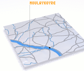 Places with similar names to Moulay Koyré, Niger ::
// Mala Gora (AT)
// Malcorai (ET)
// Mühlacker (DE)
// Melgara (PA)
// Malkara (TR)
// Malacuera (ES)
// Milagro (ES)
// Mullā Qarah (IQ)
// Malyye Gari (RU)
// Malyye Gari (RU)
Disclaimer :: Information on this page comes without warranty of any kind |
||
|
Where is Moulay Koyré? Elevation and coordinates ::
Latitude (lat): 14°21'0"N Longitude (lon): 1°12'0"E
Elevation (approx.): 221m (map arrows pan, magnifying glasses zoom) |
||
|
Visiting Moulay Koyré? Hotel/Accommodation ::
Book a hotel in Moulay Koyré Travel Guide ::
Buy a travel guide for Niger rental cars ::
car rental offers GPS waypoint ::
download a GPX waypoint (PoI) of Moulay Koyré for your GPS receiver
|
||