|
search place name
|
||
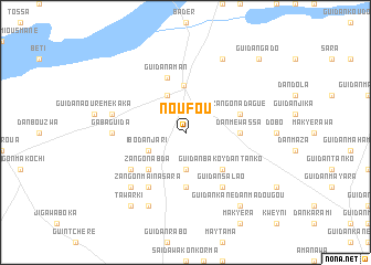
Noufou (Maradi, Niger)Noufou is a town in the Maradi region of Niger. An overview map of the region around Noufou is displayed below.
regional and 3d topo map of Noufou, Niger ::
Noufou airports ::
The nearest airport is MFG - Maradi, located 123.8 km south of Noufou.
Other airports nearby include ZND - Zinder (210.4 km south east), THZ - Tahoua (213.8 km west), Nearby towns ::
Makyélawa Guiélo (3.7km south) //
Zangon Amwa (4.1km north west) //
Ibo Dan Jari (4.0km south west) //
Goula (4.8km north) //
Zangon Abda (5.2km south west) //
Guidan Bakoy Dan Tanko (5.2km south east) //
Hamidan (5.6km south) //
Dan Méwassa (5.4km east) //
Kandili Mougamou (5.7km east) //
Zangon Adagué (5.7km east) //
Guidan Aman (5.8km north) //
Zangon Maïna Sara (6.6km south west) //
Guidan Salao (6.6km south east) //
Barka Kada (6.5km south west) //
Gaba Guida (7.2km west) //
Aouré Dan Kaka (7.4km west) //
Louga Aouta (7.7km south west) //
El Goula (8.2km north east) //
Ardo Djédo (8.2km south west) //
Tawarki (9.2km south west) //
Guidan Kané Dan Madougou (9.2km south east) //
Guidan Gado (10.3km north east) //
[all distances 'as the bird flies' and approximate] 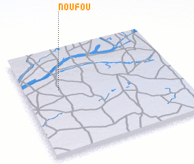 Places with similar names to Noufou, Niger ::
Disclaimer :: Information on this page comes without warranty of any kind |
||
|
Where is Noufou? Elevation and coordinates ::
Latitude (lat): 14°37'0"N Longitude (lon): 7°14'0"E
Elevation (approx.): 422m (map arrows pan, magnifying glasses zoom) |
||
|
Visiting Noufou? Hotel/Accommodation ::
Book a hotel in Noufou Travel Guide ::
Buy a travel guide for Niger rental cars ::
car rental offers GPS waypoint ::
download a GPX waypoint (PoI) of Noufou for your GPS receiver
|
||