|
search place name
|
||
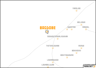
Bag Dobé (Saint-Louis, Senegal)Bag Dobé is a town in the Saint-Louis region of Senegal. An overview map of the region around Bag Dobé is displayed below.
regional and 3d topo map of Bag Dobé, Senegal ::
Bag Dobé airports ::
The nearest airport is KED - Kaedi, located 124.1 km east of Bag Dobé.
Other airports nearby include XLS - St. Louis Saint Louis (194.3 km west), KLC - Kaolack (251.5 km south west), Nearby towns ::
Soudoutrou Aliguidibi (4.0km south east) //
Tiéterlé Diabi (5.8km south) //
Guenté Tiélènka (7.4km east) //
[all distances 'as the bird flies' and approximate] 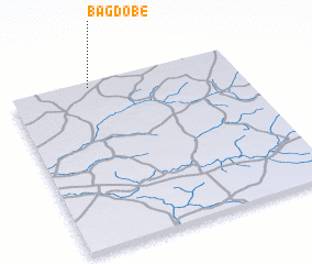 Places with similar names to Bag Dobé, Senegal ::
// Bagādubi (BD)
// Bāgdob (BD)
// Bāgdob (BD)
// Bāgdob (BD)
// Baguetibe (TD)
// Bégoudoubé (TD)
// Baktybay (KZ)
// Bekettobe (KZ)
// Bukatube (UG)
// Bakadoubou (NE)
Disclaimer :: Information on this page comes without warranty of any kind |
||
|
Where is Bag Dobé? Elevation and coordinates ::
Latitude (lat): 15°58'0"N Longitude (lon): 14°39'0"W
Elevation (approx.): 53m (map arrows pan, magnifying glasses zoom) |
||
|
Visiting Bag Dobé? Hotel/Accommodation ::
Book a hotel in Bag Dobé Travel Guide ::
Buy a travel guide for Senegal rental cars ::
car rental offers GPS waypoint ::
download a GPX waypoint (PoI) of Bag Dobé for your GPS receiver
|
||