|
search place name
|
||
Bodéyel (Kolda, Senegal)Bodéyel is a town in the Kolda region of Senegal. An overview map of the region around Bodéyel is displayed below.
regional and 3d topo map of Bodéyel, Senegal ::

Bodéyel airports ::
The nearest airport is BXO - Bissau Oswaldo Vieira Intl, located 134.3 km south west of Bodéyel.
Other airports nearby include ZIG - Ziguinchor (158.2 km west), TUD - Tambacounda (164.9 km north east), KLC - Kaolack (196.4 km north west), BJL - Banjul Intl (203.8 km west), Nearby towns ::
Missira Bokoda (0.0km north) //
Saré Bala (1.9km south) //
Dioulacolon (1.8km west) //
Daïbatou (2.6km north east) //
Saré Diniabou (2.6km south west) //
Saré Omar (3.7km south) //
Guiro Yoro (3.7km south) //
Doulayel (4.1km north west) //
Guiro Samba Koudel (4.1km south west) //
Saré Alfa (4.1km south west) //
Mahon (5.2km north east) //
Mahon Oussamara (5.2km north east) //
Diatourou Kounda (5.7km west) //
Guiro Bokari (5.8km south) //
Naïfa (6.6km south east) //
Diéba (7.2km west) //
Guiro Samba (7.4km south) //
Saré Kéïta (7.5km west) //
Boukounto (7.5km east) //
Saré Demba Kolé (7.5km east) //
Saré Gardi (9.1km south west) //
Madina Ladji (9.2km south west) //
Faraba (10.4km north west) //
Saré Kéda (10.4km south east) //
Saré Fara (10.4km south east) //
Médina el Hadji (10.4km south west) //
[all distances 'as the bird flies' and approximate] 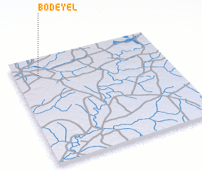 Places with similar names to Bodéyel, Senegal ::
Disclaimer :: Information on this page comes without warranty of any kind |
||
|
Where is Bodéyel? Elevation and coordinates ::
Latitude (lat): 12°49'0"N Longitude (lon): 14°51'0"W
Elevation (approx.): 48m (map arrows pan, magnifying glasses zoom) |
||
|
Visiting Bodéyel? Hotel/Accommodation ::
Book a hotel in Bodéyel Travel Guide ::
Buy a travel guide for Senegal rental cars ::
car rental offers GPS waypoint ::
download a GPX waypoint (PoI) of Bodéyel for your GPS receiver
|
||