|
search place name
|
||
Damantan (Tambacounda, Senegal)Damantan is a town in the Tambacounda region of Senegal. An overview map of the region around Damantan is displayed below.
regional and 3d topo map of Damantan, Senegal ::

Damantan airports ::
The nearest airport is TUD - Tambacounda, located 86.0 km north of Damantan.
Other airports nearby include KGG - Kedougou (136.5 km east), LEK - Labe (221.3 km south east), BXE - Bakel (227.8 km north east), KYS - Kayes Dag Dag (271.0 km north east), Nearby towns ::
Dépenndakounda (2.6km south east) //
Missira Damantan (5.2km south east) //
Sintiân Sili (7.8km south east) //
Diamvéli (9.1km north west) //
[all distances 'as the bird flies' and approximate] 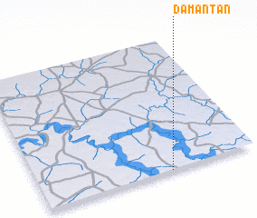 Places with similar names to Damantan, Senegal ::
// Diamantina (PH)
// Diamantina (PH)
// Tomantown (US)
// Tomendán (MX)
// Tomendán (MX)
// Dammantenna (LK)
// Tamandān (IR)
// Tambo Antonio (PE)
// Tombondon (GN)
// Dioumanténé (ML)
Disclaimer :: Information on this page comes without warranty of any kind |
||
|
Where is Damantan? Elevation and coordinates ::
Latitude (lat): 13°0'0"N Longitude (lon): 13°24'0"W
Elevation (approx.): 48m (map arrows pan, magnifying glasses zoom) |
||
|
Visiting Damantan? Hotel/Accommodation ::
Book a hotel in Damantan Travel Guide ::
Buy a travel guide for Senegal rental cars ::
car rental offers GPS waypoint ::
download a GPX waypoint (PoI) of Damantan for your GPS receiver
|
||