|
search place name
|
||
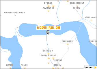
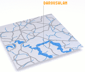
Darou Salam (Tambacounda, Senegal)Darou Salam is a town in the Tambacounda region of Senegal. An overview map of the region around Darou Salam is displayed below.
regional and 3d topo map of Darou Salam, Senegal ::
Darou Salam airports ::
The nearest airport is TUD - Tambacounda, located 51.7 km north of Darou Salam.
Other airports nearby include KGG - Kedougou (158.9 km south east), BXE - Bakel (203.3 km north east), SEY - Selibabi Selibady (249.4 km north east), LEK - Labe (254.2 km south east), Nearby towns ::
 Places with similar names to Darou Salam, Senegal ::
// Douar Soualem (MA)
// Dār as Salām (IQ)
// Trás-o-Lombo (PT)
// Dār as Salām (EG)
// Dār as Salām (EG)
// Dār as Salām (EG)
// Dār as Salām (EG)
// Douar Salem (TN)
// Douar Soualem (TN)
// Dārossalām (IR)
Disclaimer :: Information on this page comes without warranty of any kind |
||
|
Where is Darou Salam? Elevation and coordinates ::
Latitude (lat): 13°18'0"N Longitude (lon): 13°29'0"W
Elevation (approx.): 22m (map arrows pan, magnifying glasses zoom) |
||
|
Visiting Darou Salam? Hotel/Accommodation ::
Book a hotel in Darou Salam Travel Guide ::
Buy a travel guide for Senegal rental cars ::
car rental offers GPS waypoint ::
download a GPX waypoint (PoI) of Darou Salam for your GPS receiver
|
||