|
search place name
|
||
Fadékounda (Tambacounda, Senegal)Fadékounda is a town in the Tambacounda region of Senegal. An overview map of the region around Fadékounda is displayed below.
regional and 3d topo map of Fadékounda, Senegal ::

Fadékounda airports ::
The nearest airport is KGG - Kedougou, located 36.6 km west of Fadékounda.
Other airports nearby include LEK - Labe (144.1 km south), KYS - Kayes Dag Dag (218.1 km north), TUD - Tambacounda (231.5 km north west), Nearby towns ::
Fodékounda (0.0km north) //
Kéravane (5.2km south east) //
Totia (6.6km north east) //
Balori (9.1km north east) //
[all distances 'as the bird flies' and approximate] 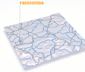 Places with similar names to Fadékounda, Senegal ::
// Fatehkāndi (BD)
// Fatukenutu (ID)
// Fodé Kounda (SN)
// Fodékounda (SN)
// Fadia Kunda (GM)
// Fode Kunda (GM)
// Fodécontéa (GN)
// Fatgunt (HT)
// Fattāḩ Kandī (IR)
Disclaimer :: Information on this page comes without warranty of any kind |
||
|
Where is Fadékounda? Elevation and coordinates ::
Latitude (lat): 12°34'0"N Longitude (lon): 11°53'0"W
Elevation (approx.): 141m (map arrows pan, magnifying glasses zoom) |
||
|
Visiting Fadékounda? Hotel/Accommodation ::
Book a hotel in Fadékounda Travel Guide ::
Buy a travel guide for Senegal rental cars ::
car rental offers GPS waypoint ::
download a GPX waypoint (PoI) of Fadékounda for your GPS receiver
|
||