|
search place name
|
||
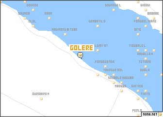
Goléré (Saint-Louis, Senegal)Goléré is a town in the Saint-Louis region of Senegal. An overview map of the region around Goléré is displayed below.
regional and 3d topo map of Goléré, Senegal ::
Goléré airports ::
The nearest airport is KED - Kaedi, located 64.1 km east of Goléré.
Other airports nearby include BXE - Bakel (233.9 km south east), SEY - Selibabi Selibady (234.9 km south east), NKC - Nouakschott Nouakchott (283.7 km north west), Nearby towns ::
Takoyel (2.6km north east) //
Diamel Diayat (4.0km north east) //
Dongui Donbi (4.0km north east) //
Tiokka (5.1km south east) //
Fondé Gandé (5.7km east) //
Méri (6.5km south east) //
Sari Boki Ivé (6.5km south east) //
Madina Ndiatebé (6.6km north west) //
Demba Tilo (8.2km north east) //
Tourguénol (8.0km south east) //
Sava Gandé (8.0km south east) //
Roundé (9.0km south east) //
[all distances 'as the bird flies' and approximate] 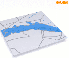 Places with similar names to Goléré, Senegal ::
Disclaimer :: Information on this page comes without warranty of any kind |
||
|
Where is Goléré? Elevation and coordinates ::
Latitude (lat): 16°15'0"N Longitude (lon): 14°6'0"W
Elevation (approx.): 15m (map arrows pan, magnifying glasses zoom) |
||
|
Visiting Goléré? Hotel/Accommodation ::
Book a hotel in Goléré Travel Guide ::
Buy a travel guide for Senegal rental cars ::
car rental offers GPS waypoint ::
download a GPX waypoint (PoI) of Goléré for your GPS receiver
|
||