|
search place name
|
||
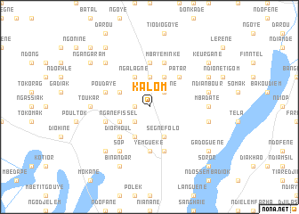
Kalom (Fatick, Senegal)Kalom is a town in the Fatick region of Senegal. An overview map of the region around Kalom is displayed below.
regional and 3d topo map of Kalom, Senegal ::
Kalom airports ::
The nearest airport is KLC - Kaolack, located 58.2 km south east of Kalom.
Other airports nearby include DKR - Dakar Leopold Sedar Senghor Intl (117.9 km west), BJL - Banjul Intl (134.7 km south), XLS - St. Louis Saint Louis (168.0 km north), ZIG - Ziguinchor (219.3 km south), Nearby towns ::
Ngayokhem (1.8km west) //
Sassé Ndiafadj (2.6km south west) //
Sinediane (2.6km north east) //
Diadiak (3.7km north) //
Ngane Fissel (4.0km south west) //
Sassar Salem (4.1km south west) //
Ndiane (4.0km north west) //
Ségnéfolo (4.1km south east) //
Ngalagne (4.1km north west) //
Mbalkane (4.1km north east) //
Diorhoul (5.2km south west) //
Patar (5.2km north east) //
Diandoumé (5.6km north) //
Yemguéké (5.6km south) //
Ouagbache (5.7km west) //
Lanbanèm (5.7km west) //
Mbaye Minké (5.8km north) //
Poudaye (5.7km west) //
Niakhar (5.8km south) //
Sop (6.6km south west) //
Toukar (7.2km west) //
Mbadate (7.2km east) //
Mboul Larhar (7.4km east) //
Ndianbour (7.4km east) //
Datel (7.7km north west) //
Lem Dam (7.7km south west) //
Binandar (8.2km south west) //
Diané (8.1km north east) //
Ngangaram (9.1km north west) //
[all distances 'as the bird flies' and approximate] 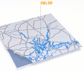 Places with similar names to Kalom, Senegal ::
Disclaimer :: Information on this page comes without warranty of any kind |
||
|
Where is Kalom? Elevation and coordinates ::
Latitude (lat): 14°32'0"N Longitude (lon): 16°25'0"W
Elevation (approx.): 14m (map arrows pan, magnifying glasses zoom) |
||
|
Visiting Kalom? Hotel/Accommodation ::
Book a hotel in Kalom Travel Guide ::
Buy a travel guide for Senegal rental cars ::
car rental offers GPS waypoint ::
download a GPX waypoint (PoI) of Kalom for your GPS receiver
|
||