|
search place name
|
||
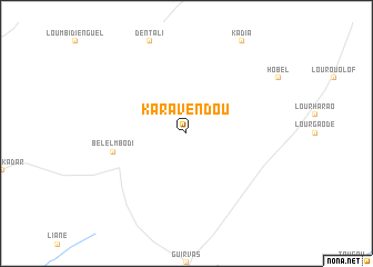
Kara Vèndou (Saint-Louis, Senegal)Kara Vèndou is a town in the Saint-Louis region of Senegal. An overview map of the region around Kara Vèndou is displayed below.
regional and 3d topo map of Kara Vèndou, Senegal ::
Kara Vèndou airports ::
The nearest airport is KED - Kaedi, located 76.2 km east of Kara Vèndou.
Other airports nearby include BXE - Bakel (216.4 km south east), SEY - Selibabi Selibady (224.8 km east), KLC - Kaolack (280.5 km south west), Nearby towns ::
Bélel Mbodi (7.4km west) //
[all distances 'as the bird flies' and approximate] 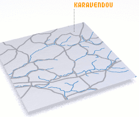 Places with similar names to Kara Vèndou, Senegal ::
// Qǝrvǝnd (AZ)
// Korfantów (PL)
// Krūvandai (LT)
// Krivanda (LV)
// Caravaneţi (RO)
// Kervanto (RU)
// Qaraghandy (KZ)
// Qaraghandy (KZ)
// Garāvand (IR)
// Garāvand (IR)
Disclaimer :: Information on this page comes without warranty of any kind |
||
|
Where is Kara Vèndou? Elevation and coordinates ::
Latitude (lat): 15°54'0"N Longitude (lon): 14°10'0"W
Elevation (approx.): 62m (map arrows pan, magnifying glasses zoom) |
||
|
Visiting Kara Vèndou? Hotel/Accommodation ::
Book a hotel in Kara Vèndou Travel Guide ::
Buy a travel guide for Senegal rental cars ::
car rental offers GPS waypoint ::
download a GPX waypoint (PoI) of Kara Vèndou for your GPS receiver
|
||