|
search place name
|
||
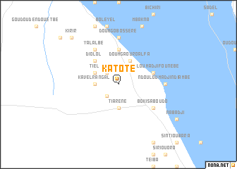
Katoté (Saint-Louis, Senegal)Katoté is a town in the Saint-Louis region of Senegal. An overview map of the region around Katoté is displayed below.
regional and 3d topo map of Katoté, Senegal ::
Katoté airports ::
The nearest airport is KED - Kaedi, located 40.0 km north of Katoté.
Other airports nearby include BXE - Bakel (150.4 km south east), SEY - Selibabi Selibady (151.6 km south east), Nearby towns ::
Padé (2.6km north west) //
Modi Boula (2.6km south west) //
Danbol (2.6km south west) //
Kavel Rangal (3.6km west) //
Tiarène (3.7km south) //
Sédo Abas (3.7km south) //
Sédo Sandarabé (3.7km south) //
Doumga Ouro Alfa (4.1km north east) //
Kavel Sintiân (4.0km north west) //
Tiel (4.0km north west) //
Diolol (5.1km north west) //
Doumgo Ouro Tierno (5.6km north) //
Ndouloum Adji Founébé (5.7km east) //
Sarékoura (6.6km north west) //
Yalalbé (6.6km north west) //
Boki Saboudo (6.5km south east) //
Tiouti (6.6km north west) //
Doumgo Bossère (7.4km north) //
Ndouloum Adji Ndiambé (7.1km east) //
Kirir (10.3km north west) //
[all distances 'as the bird flies' and approximate] 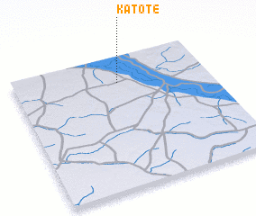 Places with similar names to Katoté, Senegal ::
Disclaimer :: Information on this page comes without warranty of any kind |
||
|
Where is Katoté? Elevation and coordinates ::
Latitude (lat): 15°48'0"N Longitude (lon): 13°28'0"W
Elevation (approx.): 27m (map arrows pan, magnifying glasses zoom) |
||
|
Visiting Katoté? Hotel/Accommodation ::
Book a hotel in Katoté Travel Guide ::
Buy a travel guide for Senegal rental cars ::
car rental offers GPS waypoint ::
download a GPX waypoint (PoI) of Katoté for your GPS receiver
|
||