|
search place name
|
||
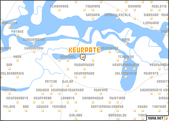
Keur Paté (Fatick, Senegal)Keur Paté is a town in the Fatick region of Senegal. An overview map of the region around Keur Paté is displayed below.
regional and 3d topo map of Keur Paté, Senegal ::
Keur Paté airports ::
The nearest airport is KLC - Kaolack, located 27.1 km east of Keur Paté.
Other airports nearby include BJL - Banjul Intl (94.2 km south west), DKR - Dakar Leopold Sedar Senghor Intl (145.7 km north west), ZIG - Ziguinchor (172.7 km south), CSK - Cap Skiring (194.9 km south), Nearby towns ::
Yoro (1.9km north) //
Ndour Ndour (1.9km south) //
Kamatane (1.8km east) //
Keur Nari (3.6km west) //
Keur Mandao (3.7km south) //
Keur Omar (4.0km south west) //
Boli (4.1km south west) //
Guagué Chérif (5.4km west) //
Keur Sossé (5.7km east) //
Keur Kékouta (5.7km east) //
Djilor (6.6km south west) //
Keur Diemé (7.2km east) //
Keur Samagne (7.4km east) //
Nguerkor (7.6km south) //
Ndofane (8.2km south east) //
Petche (9.1km south west) //
Keur Moda (9.2km south west) //
Ndiomdi (10.3km south west) //
[all distances 'as the bird flies' and approximate] 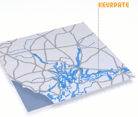 Places with similar names to Keur Paté, Senegal ::
Disclaimer :: Information on this page comes without warranty of any kind |
||
|
Where is Keur Paté? Elevation and coordinates ::
Latitude (lat): 14°7'0"N Longitude (lon): 16°18'0"W
Elevation (approx.): 7m (map arrows pan, magnifying glasses zoom) |
||
|
Visiting Keur Paté? Hotel/Accommodation ::
Book a hotel in Keur Paté Travel Guide ::
Buy a travel guide for Senegal rental cars ::
car rental offers GPS waypoint ::
download a GPX waypoint (PoI) of Keur Paté for your GPS receiver
|
||