|
search place name
|
||
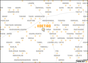
Koétiao (Fatick, Senegal)Koétiao is a town in the Fatick region of Senegal. An overview map of the region around Koétiao is displayed below.
regional and 3d topo map of Koétiao, Senegal ::
Koétiao airports ::
The nearest airport is KLC - Kaolack, located 31.9 km south of Koétiao.
Other airports nearby include BJL - Banjul Intl (135.9 km south west), DKR - Dakar Leopold Sedar Senghor Intl (155.3 km west), XLS - St. Louis Saint Louis (183.6 km north), ZIG - Ziguinchor (208.8 km south), Nearby towns ::
Taoua (1.8km east) //
Tiénéba (2.6km south west) //
Ouadiour (3.6km east) //
Niangué (4.0km south east) //
Keur Ali Ndiaye (4.0km south west) //
Mbos Niomboul (4.1km north east) //
Keur Bala (4.1km north east) //
Diender (4.0km north west) //
Layène Boumak (4.1km north west) //
Kémet (5.2km south east) //
Rayane Mourit (5.2km north east) //
Keur Kali (5.2km south west) //
Rhayane Bambara (5.2km north east) //
Ndiainar (5.4km east) //
Diondiguel (5.7km east) //
Sabar (5.8km south) //
Tiabel (5.8km south) //
Doyoli (5.7km east) //
Diamaguène (5.8km north) //
Loumbel Kéli (6.6km south east) //
Pargui (6.5km south west) //
Keur Yabi (6.5km north west) //
Gossas Village (6.6km north west) //
Tabakali (7.4km south) //
Bil (7.2km east) //
Dok Saré (7.2km west) //
Gadji (7.6km south) //
Gazel (7.4km west) //
Gossas (7.6km north) //
[all distances 'as the bird flies' and approximate] 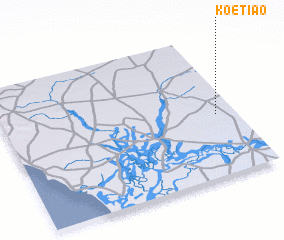 Places with similar names to Koétiao, Senegal ::
Disclaimer :: Information on this page comes without warranty of any kind |
||
|
Where is Koétiao? Elevation and coordinates ::
Latitude (lat): 14°26'0"N Longitude (lon): 16°5'0"W
Elevation (approx.): 27m (map arrows pan, magnifying glasses zoom) |
||
|
Visiting Koétiao? Hotel/Accommodation ::
Book a hotel in Koétiao Travel Guide ::
Buy a travel guide for Senegal rental cars ::
car rental offers GPS waypoint ::
download a GPX waypoint (PoI) of Koétiao for your GPS receiver
|
||