|
search place name
|
||
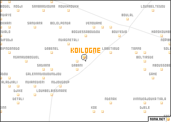
Koilogné (Louga, Senegal)Koilogné is a town in the Louga region of Senegal. An overview map of the region around Koilogné is displayed below.
regional and 3d topo map of Koilogné, Senegal ::
Koilogné airports ::
The nearest airport is XLS - St. Louis Saint Louis, located 110.2 km north west of Koilogné.
Other airports nearby include KLC - Kaolack (135.2 km south), DKR - Dakar Leopold Sedar Senghor Intl (198.3 km west), BJL - Banjul Intl (241.3 km south west), Nearby towns ::
Dogaké (1.9km north) //
Koélè Pègna (1.8km west) //
Dabani (2.6km south west) //
Pabel (2.6km north east) //
Ndiagne Tali (5.1km north west) //
Boguessa Boudou (5.6km north) //
Labétiado (5.7km east) //
Alouniang (7.4km west) //
Kertiédossira (7.4km west) //
Vénouamé (7.6km north) //
Dabènel (7.4km west) //
Ndjougoup (7.7km south west) //
Bemba Badiane (8.2km north east) //
Bouliérobé (9.1km north east) //
Bouyèdia (9.1km north east) //
Bélel Penda (9.1km north west) //
Loumbel Bissinaré (10.3km south west) //
[all distances 'as the bird flies' and approximate] 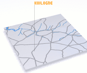 Places with similar names to Koilogné, Senegal ::
Disclaimer :: Information on this page comes without warranty of any kind |
||
|
Where is Koilogné? Elevation and coordinates ::
Latitude (lat): 15°20'0"N Longitude (lon): 15°45'0"W
Elevation (approx.): 58m (map arrows pan, magnifying glasses zoom) |
||
|
Visiting Koilogné? Hotel/Accommodation ::
Book a hotel in Koilogné Travel Guide ::
Buy a travel guide for Senegal rental cars ::
car rental offers GPS waypoint ::
download a GPX waypoint (PoI) of Koilogné for your GPS receiver
|
||