|
search place name
|
||
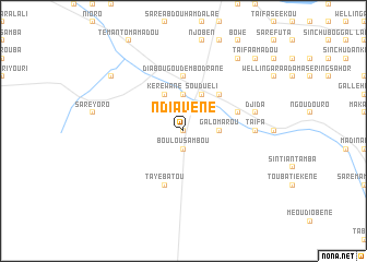
Ndiavène (Kolda, Senegal)Ndiavène is a town in the Kolda region of Senegal. An overview map of the region around Ndiavène is displayed below.
regional and 3d topo map of Ndiavène, Senegal ::
Ndiavène airports ::
The nearest airport is KLC - Kaolack, located 143.5 km north west of Ndiavène.
Other airports nearby include TUD - Tambacounda (147.0 km east), ZIG - Ziguinchor (170.5 km south west), BXO - Bissau Oswaldo Vieira Intl (182.5 km south west), BJL - Banjul Intl (182.7 km west), Nearby towns ::
Darsalam (0.0km north) //
Boulou Sambou (1.9km south) //
Madina Dahaba (3.7km north) //
Galo Marou (3.6km east) //
Kéréwané (4.1km north west) //
Pata (4.1km north east) //
Souduéli (4.1km north east) //
Saré Mansa (5.2km north east) //
Diabougou Dembo Drané (5.6km north) //
Tayebatou (5.8km south) //
Missira Balde Kayéra (5.7km east) //
Taïfa (7.2km east) //
Djida (7.4km east) //
Dédané Sékou Drané (9.1km north west) //
Ahalulie (9.2km north east) //
Fas Abdou (9.2km north east) //
Bantan Yima (10.3km north east) //
Taifa Amadou (10.3km north east) //
[all distances 'as the bird flies' and approximate] 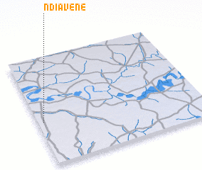 Places with similar names to Ndiavène, Senegal ::
Disclaimer :: Information on this page comes without warranty of any kind |
||
|
Where is Ndiavène? Elevation and coordinates ::
Latitude (lat): 13°24'0"N Longitude (lon): 14°58'0"W
Elevation (approx.): 19m (map arrows pan, magnifying glasses zoom) |
||
|
Visiting Ndiavène? Hotel/Accommodation ::
Book a hotel in Ndiavène Travel Guide ::
Buy a travel guide for Senegal rental cars ::
car rental offers GPS waypoint ::
download a GPX waypoint (PoI) of Ndiavène for your GPS receiver
|
||