|
search place name
|
||
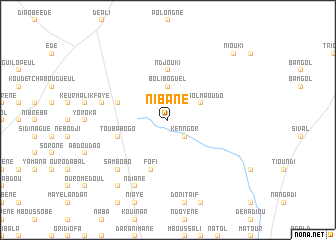
Nibane (Louga, Senegal)Nibane is a town in the Louga region of Senegal. An overview map of the region around Nibane is displayed below.
regional and 3d topo map of Nibane, Senegal ::
Nibane airports ::
The nearest airport is KLC - Kaolack, located 98.8 km south west of Nibane.
Other airports nearby include XLS - St. Louis Saint Louis (149.8 km north west), DKR - Dakar Leopold Sedar Senghor Intl (199.4 km west), BJL - Banjul Intl (208.6 km south west), TUD - Tambacounda (253.8 km south east), Nearby towns ::
Kenngor (2.6km south east) //
Boliboguel (3.7km north) //
Tignol Maoudo (4.0km north east) //
Ndjouki (5.6km north) //
Touba Bogo (5.7km west) //
Férala (5.7km west) //
Fofi (5.8km south) //
Keur Guilaye (7.4km west) //
Sambobo (7.7km south west) //
Ndiané (8.2km south west) //
Keur Mamadou Yaga (9.2km south west) //
Niouki (10.3km north east) //
[all distances 'as the bird flies' and approximate] 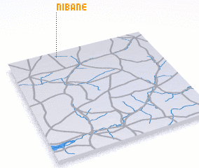 Places with similar names to Nibane, Senegal ::
Disclaimer :: Information on this page comes without warranty of any kind |
||
|
Where is Nibane? Elevation and coordinates ::
Latitude (lat): 14°57'0"N Longitude (lon): 15°39'0"W
Elevation (approx.): 43m (map arrows pan, magnifying glasses zoom) |
||
|
Visiting Nibane? Hotel/Accommodation ::
Book a hotel in Nibane Travel Guide ::
Buy a travel guide for Senegal rental cars ::
car rental offers GPS waypoint ::
download a GPX waypoint (PoI) of Nibane for your GPS receiver
|
||