|
search place name
|
||
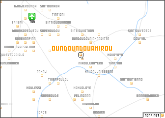
Oundoundou Amirou (Tambacounda, Senegal)Oundoundou Amirou is a town in the Tambacounda region of Senegal. An overview map of the region around Oundoundou Amirou is displayed below.
regional and 3d topo map of Oundoundou Amirou, Senegal ::
Oundoundou Amirou airports ::
The nearest airport is TUD - Tambacounda, located 14.7 km north west of Oundoundou Amirou.
Other airports nearby include BXE - Bakel (176.6 km north east), KGG - Kedougou (187.1 km south east), SEY - Selibabi Selibady (222.7 km north east), Nearby towns ::
Bounkili (NaNkm north) //
Oundoundou Amadou Baba (1.9km north) //
Niaoulé Bayéko (2.6km south east) //
Kodiamo (2.6km north west) //
Diankobinni (4.1km north west) //
Oundoudou Niakandiata (4.1km north east) //
Hamdallaï Tessan (5.2km south east) //
Sintiou Kotiari (5.6km north) //
Oundoudou (6.6km north east) //
Hamdalaye (7.4km south) //
Makayaya (7.2km east) //
Mountabou (7.4km west) //
Tinntiba (7.4km east) //
Saré Kali (7.8km north west) //
Timbafoulou (7.8km south west) //
Dar el Salam (8.2km north west) //
Saré Moudou (9.1km north west) //
Sintiou Oumarou (9.2km north west) //
Larédji (9.1km south west) //
[all distances 'as the bird flies' and approximate] 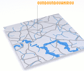 Places with similar names to Oundoundou Amirou, Senegal :: Disclaimer :: Information on this page comes without warranty of any kind |
||
|
Where is Oundoundou Amirou? Elevation and coordinates ::
Latitude (lat): 13°39'0"N Longitude (lon): 13°33'0"W
Elevation (approx.): 37m (map arrows pan, magnifying glasses zoom) |
||
|
Visiting Oundoundou Amirou? Hotel/Accommodation ::
Book a hotel in Oundoundou Amirou Travel Guide ::
Buy a travel guide for Senegal rental cars ::
car rental offers GPS waypoint ::
download a GPX waypoint (PoI) of Oundoundou Amirou for your GPS receiver
|
||