|
search place name
|
||
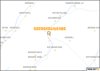
Sara Amadi Demba (Tambacounda, Senegal)Sara Amadi Demba is a town in the Tambacounda region of Senegal. An overview map of the region around Sara Amadi Demba is displayed below.
regional and 3d topo map of Sara Amadi Demba, Senegal ::
Sara Amadi Demba airports ::
The nearest airport is TUD - Tambacounda, located 59.5 km south of Sara Amadi Demba.
Other airports nearby include BXE - Bakel (152.3 km north east), SEY - Selibabi Selibady (194.4 km north east), KED - Kaedi (211.1 km north), KGG - Kedougou (250.2 km south east), Nearby towns ::
Ouro Séano (0.0km north) //
Ouro Demba Niama (1.9km south) //
Ouro Alfa (2.6km north west) //
Sintiou Ganiado (5.8km south) //
Niala Baoudé (5.8km north) //
Ouri Moudiri (7.6km south) //
Ouro Wali (7.4km east) //
Sintiou Yalabé (8.2km north east) //
Ouro Sori Dala (9.2km south west) //
[all distances 'as the bird flies' and approximate] 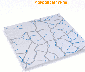 Places with similar names to Sara Amadi Demba, Senegal :: Disclaimer :: Information on this page comes without warranty of any kind |
||
|
Where is Sara Amadi Demba? Elevation and coordinates ::
Latitude (lat): 14°16'0"N Longitude (lon): 13°45'0"W
Elevation (approx.): 43m (map arrows pan, magnifying glasses zoom) |
||
|
Visiting Sara Amadi Demba? Hotel/Accommodation ::
Book a hotel in Sara Amadi Demba Travel Guide ::
Buy a travel guide for Senegal rental cars ::
car rental offers GPS waypoint ::
download a GPX waypoint (PoI) of Sara Amadi Demba for your GPS receiver
|
||