|
search place name
|
||
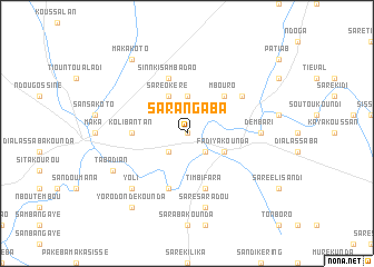
Sarangaba (Tambacounda, Senegal)Sarangaba is a town in the Tambacounda region of Senegal. An overview map of the region around Sarangaba is displayed below.
regional and 3d topo map of Sarangaba, Senegal ::
Sarangaba airports ::
The nearest airport is TUD - Tambacounda, located 59.7 km east of Sarangaba.
Other airports nearby include KLC - Kaolack (207.0 km west), BXE - Bakel (228.0 km north east), KGG - Kedougou (246.4 km south east), BXO - Bissau Oswaldo Vieira Intl (251.7 km south west), Nearby towns ::
Sara Moudé (0.0km north) //
Tabandi (2.6km south east) //
Diabougou (2.6km south west) //
Sara Dadi (3.7km north) //
Saré Okéré (4.1km north west) //
Fadiyakounda (4.1km south east) //
Mbouro (5.2km north east) //
Kolibantan (5.4km west) //
Sinnki Sambadao (5.8km north) //
Saré Ali (5.8km north) //
Makandi (5.8km south) //
Timbifara (5.8km south) //
Kalébé (6.6km north east) //
Dembari (7.2km east) //
Saré Saradou (7.6km south) //
Yoli (7.8km south west) //
Tabadian (8.1km south west) //
Makakoto (9.2km north west) //
Yorodondékounda (9.2km south west) //
[all distances 'as the bird flies' and approximate] 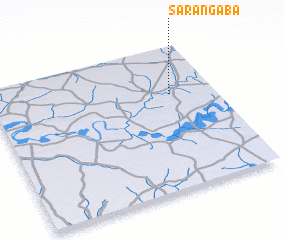 Places with similar names to Sarangaba, Senegal ::
Disclaimer :: Information on this page comes without warranty of any kind |
||
|
Where is Sarangaba? Elevation and coordinates ::
Latitude (lat): 13°40'0"N Longitude (lon): 14°12'0"W
Elevation (approx.): 22m (map arrows pan, magnifying glasses zoom) |
||
|
Visiting Sarangaba? Hotel/Accommodation ::
Book a hotel in Sarangaba Travel Guide ::
Buy a travel guide for Senegal rental cars ::
car rental offers GPS waypoint ::
download a GPX waypoint (PoI) of Sarangaba for your GPS receiver
|
||