|
search place name
|
||
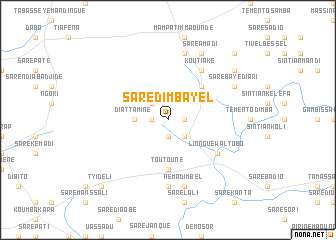
Saré Dimbayel (Kolda, Senegal)Saré Dimbayel is a town in the Kolda region of Senegal. An overview map of the region around Saré Dimbayel is displayed below.
regional and 3d topo map of Saré Dimbayel, Senegal ::
Saré Dimbayel airports ::
The nearest airport is TUD - Tambacounda, located 128.2 km north east of Saré Dimbayel.
Other airports nearby include BXO - Bissau Oswaldo Vieira Intl (173.6 km south west), ZIG - Ziguinchor (211.6 km west), KLC - Kaolack (236.9 km north west), Nearby towns ::
Sintiân Diobo (1.8km east) //
Saré Gourdo (1.8km west) //
Saré Diobo (1.9km south) //
Saré Yerbel (2.6km south east) //
Saré Diaïla (2.6km north west) //
Saré Kanta (2.6km south east) //
Diattamine (3.6km west) //
Pidiro (5.2km north east) //
Toutouné (5.6km south) //
Koutiaké (6.6km north east) //
Linnguéwal Tobo (6.6km south east) //
Didioré (7.4km south) //
Mampatim (7.6km north) //
Néma Dimbel (7.6km south) //
Saré Baye Diari (8.1km north east) //
Saré Amadi (8.2km north east) //
Koutiara (8.1km north east) //
Bantangueul Kassoum (9.1km north east) //
Fouladou Yéro (10.4km north east) //
Tyidéli (10.4km south west) //
[all distances 'as the bird flies' and approximate] 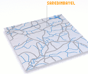 Places with similar names to Saré Dimbayel, Senegal :: Disclaimer :: Information on this page comes without warranty of any kind |
||
|
Where is Saré Dimbayel? Elevation and coordinates ::
Latitude (lat): 12°48'0"N Longitude (lon): 14°21'0"W
Elevation (approx.): 39m (map arrows pan, magnifying glasses zoom) |
||
|
Visiting Saré Dimbayel? Hotel/Accommodation ::
Book a hotel in Saré Dimbayel Travel Guide ::
Buy a travel guide for Senegal rental cars ::
car rental offers GPS waypoint ::
download a GPX waypoint (PoI) of Saré Dimbayel for your GPS receiver
|
||