|
search place name
|
||
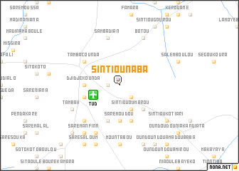
Sintiou Naba (Tambacounda, Senegal)Sintiou Naba is a town in the Tambacounda region of Senegal. An overview map of the region around Sintiou Naba is displayed below.
regional and 3d topo map of Sintiou Naba, Senegal ::
Sintiou Naba airports ::
The nearest airport is TUD - Tambacounda, located 4.2 km west of Sintiou Naba.
Other airports nearby include BXE - Bakel (173.5 km north east), KGG - Kedougou (199.7 km south east), SEY - Selibabi Selibady (219.3 km north east), Nearby towns ::
Kandéri Niana (1.8km west) //
Tiatiori (2.6km south east) //
Sintiou Oumarou (4.1km south east) //
Dar el Salam (5.2km south east) //
Saré Moudou (5.6km south) //
Djidje Kounda (5.4km west) //
Saré Madi (5.8km south) //
Tamba I (5.7km west) //
Saré Kali (5.8km south) //
Tambacounda (6.5km north west) //
Sambadian (7.6km north) //
Diounkoré Dutou (7.8km south west) //
Tamba II (8.1km south west) //
Diounkoré (8.1km south west) //
Baba Galé (8.2km south west) //
Botou (8.2km north east) //
Sintiou Kotiari (9.1km south east) //
Saré Manfinn (9.2km south west) //
Madina Sibikili (10.3km south west) //
[all distances 'as the bird flies' and approximate] 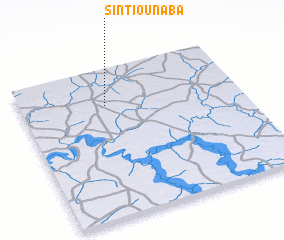 Places with similar names to Sintiou Naba, Senegal ::
// Xintianba (CN)
Disclaimer :: Information on this page comes without warranty of any kind |
||
|
Where is Sintiou Naba? Elevation and coordinates ::
Latitude (lat): 13°45'0"N Longitude (lon): 13°37'0"W
Elevation (approx.): 53m (map arrows pan, magnifying glasses zoom) |
||
|
Visiting Sintiou Naba? Hotel/Accommodation ::
Book a hotel in Sintiou Naba Travel Guide ::
Buy a travel guide for Senegal rental cars ::
car rental offers GPS waypoint ::
download a GPX waypoint (PoI) of Sintiou Naba for your GPS receiver
|
||