|
search place name
|
||
Sorokogne (Kaolack, Senegal)Sorokogne is a town in the Kaolack region of Senegal. An overview map of the region around Sorokogne is displayed below.
regional and 3d topo map of Sorokogne, Senegal ::

Sorokogne airports ::
The nearest airport is KLC - Kaolack, located 59.7 km west of Sorokogne.
Other airports nearby include BJL - Banjul Intl (155.8 km south west), ZIG - Ziguinchor (199.0 km south west), TUD - Tambacounda (205.6 km east), DKR - Dakar Leopold Sedar Senghor Intl (223.2 km west), Nearby towns ::
Boul Peul (1.9km north) //
Kandé (2.6km north east) //
Sangol (3.7km south) //
Diaglé (3.6km east) //
Kassas (3.6km west) //
Bountoum (4.1km south west) //
Ndiéri (5.2km south west) //
Keur Sandao (5.6km south) //
Keur Aliou Sissé (5.7km west) //
Diogo (7.4km south) //
Ndodj (7.2km east) //
Nianguène Yérouane (7.7km south east) //
Ngam (7.7km south west) //
Nianguène Kodé (10.3km south east) //
[all distances 'as the bird flies' and approximate] 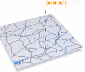 Places with similar names to Sorokogne, Senegal ::
Disclaimer :: Information on this page comes without warranty of any kind |
||
|
Where is Sorokogne? Elevation and coordinates ::
Latitude (lat): 14°11'0"N Longitude (lon): 15°30'0"W
Elevation (approx.): 13m (map arrows pan, magnifying glasses zoom) |
||
|
Visiting Sorokogne? Hotel/Accommodation ::
Book a hotel in Sorokogne Travel Guide ::
Buy a travel guide for Senegal rental cars ::
car rental offers GPS waypoint ::
download a GPX waypoint (PoI) of Sorokogne for your GPS receiver
|
||