|
search place name
|
||
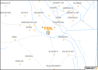
Faḩl ((( Al Wusţá )), Sudan)Faḩl is a town in the (( Al Wusţá )) region of Sudan. An overview map of the region around Faḩl is displayed below.
regional and 3d topo map of Faḩl, Sudan ::
Faḩl airports ::
The nearest airport is KRT - Khartoum, located 197.3 km north west of Faḩl.
Nearby towns ::
Wad al Muḑawwiʼ (1.9km north) //
Tunsa Fahal (5.2km north east) //
Wad Abū Madīnah (5.7km west) //
Ad Dawḩah (5.7km east) //
Tawmat az Zayn (6.5km north west) //
Tunsa (6.6km north east) //
Jumaylīyah (7.4km north) //
An Nūr (7.4km west) //
Al Ḩusayn (7.6km south) //
‘Abbās ‘Abd Allāh (8.1km north west) //
Wad Jam‘ān (8.2km north west) //
Awlād Yāsīn (10.3km south east) //
[all distances 'as the bird flies' and approximate] 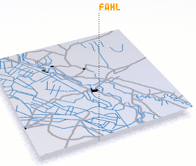 Places with similar names to Faḩl, Sudan ::
Disclaimer :: Information on this page comes without warranty of any kind |
||
|
Where is Faḩl? Elevation and coordinates ::
Latitude (lat): 14°0'0"N Longitude (lon): 33°23'0"E
Elevation (approx.): 416m (map arrows pan, magnifying glasses zoom) |
||
|
Visiting Faḩl? Hotel/Accommodation ::
Book a hotel in Faḩl Travel Guide ::
Buy a travel guide for Sudan rental cars ::
car rental offers GPS waypoint ::
download a GPX waypoint (PoI) of Faḩl for your GPS receiver
|
||