|
search place name
|
||
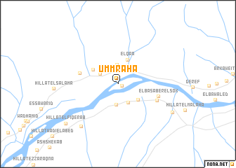
Umm Raha (Nahr an Nīl, Sudan)Umm Raha is a town in the Nahr an Nīl region of Sudan. An overview map of the region around Umm Raha is displayed below.
regional and 3d topo map of Umm Raha, Sudan ::
Umm Raha airports ::
The nearest airport is KRT - Khartoum, located 113.3 km south of Umm Raha.
Nearby towns ::
El Foqara (0.6km south east) //
El Gabrab (2.6km north) //
El Komor (3.0km north) //
El Manaser (3.1km north) //
El ‘Azozab (3.1km north east) //
Hajar at Ter (3.2km north west) //
Hillat el Hasanab (3.3km south) //
Zoroq Korbab (3.3km south east) //
El Kilewa Wad Gamal (3.9km south east) //
El Qa‘a (4.1km north) //
Hillat Wadi el Hasar (4.5km north west) //
Hillat el Thawra (6.1km west) //
El Basaber el Sok (6.4km east) //
El Basaber Hillat el Mda (6.5km south east) //
Hillat Ezzoroq (8.7km south west) //
Hillat el Malaha (9.4km south east) //
Hillat el Fiqerab (10.2km south west) //
[all distances 'as the bird flies' and approximate] 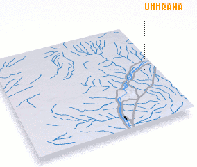 Places with similar names to Umm Raha, Sudan ::
// Umm ar Rāḩī (SD)
// Umar Rāho (PK)
Disclaimer :: Information on this page comes without warranty of any kind |
||
|
Where is Umm Raha? Elevation and coordinates ::
Latitude (lat): 16°32'39"N Longitude (lon): 32°56'10"E
Elevation (approx.): 368m (map arrows pan, magnifying glasses zoom) |
||
|
Visiting Umm Raha? Hotel/Accommodation ::
Book a hotel in Umm Raha Travel Guide ::
Buy a travel guide for Sudan rental cars ::
car rental offers GPS waypoint ::
download a GPX waypoint (PoI) of Umm Raha for your GPS receiver
|
||