|
search place name
|
||
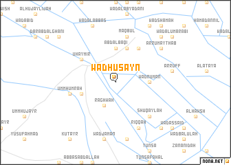
Wad Ḩusayn ((( Al Wusţá )), Sudan)Wad Ḩusayn is a town in the (( Al Wusţá )) region of Sudan. An overview map of the region around Wad Ḩusayn is displayed below.
regional and 3d topo map of Wad Ḩusayn, Sudan ::
Wad Ḩusayn airports ::
The nearest airport is KRT - Khartoum, located 181.7 km north west of Wad Ḩusayn.
Nearby towns ::
Raghwah (4.1km south west) //
Wad Nu‘mān (5.4km east) //
Qudaydīm (5.6km north) //
‘Abd al Bāqī (5.6km north) //
Maḩmūd (5.8km north) //
Aţ Ţayyārah (5.7km west) //
Ḩamad an Nīl (6.6km north east) //
Uḩaymir (6.5km north west) //
Maqbūl (7.6km north) //
Umm Ḩumrah (7.4km west) //
Shuqaylah (7.7km south east) //
Riqqah (8.2km south east) //
Ar Rumaythāb (9.1km north east) //
Qasam Allāh (10.3km north east) //
Al Jummū‘īyah (10.3km south east) //
[all distances 'as the bird flies' and approximate] 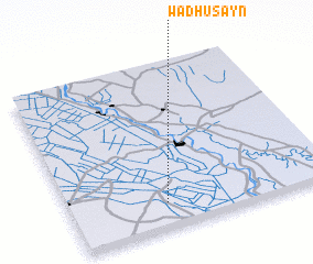 Places with similar names to Wad Ḩusayn, Sudan ::
// Waidhausen (AT)
// Weidhausen (DE)
// Wad Ḩassūnah (SD)
// Wad Ḩusayn (SD)
// Wad Ḩusayn (SD)
// Wad Ḩusayn (SD)
Disclaimer :: Information on this page comes without warranty of any kind |
||
|
Where is Wad Ḩusayn? Elevation and coordinates ::
Latitude (lat): 14°9'0"N Longitude (lon): 33°22'0"E
Elevation (approx.): 410m (map arrows pan, magnifying glasses zoom) |
||
|
Visiting Wad Ḩusayn? Hotel/Accommodation ::
Book a hotel in Wad Ḩusayn Travel Guide ::
Buy a travel guide for Sudan rental cars ::
car rental offers GPS waypoint ::
download a GPX waypoint (PoI) of Wad Ḩusayn for your GPS receiver
|
||