|
search place name
|
||
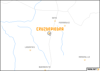
Cruz de Piedra (Cerro Largo, Uruguay)Cruz de Piedra is a town in the Cerro Largo region of Uruguay. An overview map of the region around Cruz de Piedra is displayed below.
regional and 3d topo map of Cruz de Piedra, Uruguay ::
Cruz de Piedra airports ::
The nearest airport is BGX - Bage Comandante Gustavo Kraemer, located 71.6 km north of Cruz de Piedra.
Other airports nearby include PET - Pelotas (179.0 km east), Nearby towns ::
Sarandí de Aceguá (2.4km north west) //
Soto (5.8km north) //
Fernández (6.0km north east) //
Las Ratas (8.4km south west) //
[all distances 'as the bird flies' and approximate] 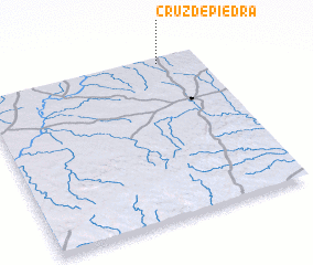 Places with similar names to Cruz de Piedra, Uruguay ::
// Cruz de Piedra (CU)
// Crucea de Piatră (RO)
// Crucea de Piatră (RO)
// Cruz de Piedra (GT)
// Cruz de Piedra (GT)
// Cruz de Piedra (GT)
// Cruz de Piedra (MX)
// Cruz de Piedra (MX)
// Cruz de Piedra (MX)
// Cruz de Piedra (HN)
Disclaimer :: Information on this page comes without warranty of any kind |
||
|
Where is Cruz de Piedra? Elevation and coordinates ::
Latitude (lat): 32°2'0"S Longitude (lon): 54°11'0"W
Elevation (approx.): 144m (map arrows pan, magnifying glasses zoom) |
||
|
Visiting Cruz de Piedra? Hotel/Accommodation ::
Book a hotel in Cruz de Piedra Travel Guide ::
Buy a travel guide for Uruguay rental cars ::
car rental offers GPS waypoint ::
download a GPX waypoint (PoI) of Cruz de Piedra for your GPS receiver
|
||