|
search place name
|
||
Chibundula (Western, Zambia)Chibundula is a town in the Western region of Zambia. An overview map of the region around Chibundula is displayed below.
regional and 3d topo map of Chibundula, Zambia ::

Nearby towns ::
Katotola (0.0km north) //
Chikoki (0.0km north) //
Kasheke (1.8km east) //
Samutwi (1.8km west) //
Saingwe (1.8km east) //
Makuya (3.6km east) //
Chiwano (3.6km east) //
Muleka (3.6km east) //
Mukoka (4.1km south west) //
Kalunjele (4.1km south west) //
Salinoka (4.1km south west) //
Lingwabo (5.2km south west) //
Kalwizi (5.2km south west) //
Tepa (5.2km south west) //
Kanjumbo (5.4km west) //
Shalila (5.4km west) //
Mulobela (5.8km south) //
Toloma (5.7km east) //
Kashina (7.2km east) //
Mbambu (7.4km west) //
[all distances 'as the bird flies' and approximate] 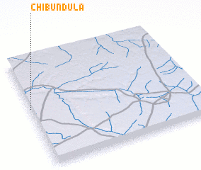 Places with similar names to Chibundula, Zambia ::
// Shāh Bandehlū (IR)
Disclaimer :: Information on this page comes without warranty of any kind |
||
|
Where is Chibundula? Elevation and coordinates ::
Latitude (lat): 14°27'0"S Longitude (lon): 24°0'0"E
Elevation (approx.): 1110m (map arrows pan, magnifying glasses zoom) |
||
|
Visiting Chibundula? Hotel/Accommodation ::
Book a hotel in Chibundula Travel Guide ::
Buy a travel guide for Zambia rental cars ::
car rental offers GPS waypoint ::
download a GPX waypoint (PoI) of Chibundula for your GPS receiver
|
||