|
search place name
|
||
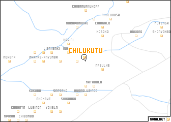
Chilukutu (Central, Zambia)Chilukutu is a town in the Central region of Zambia. An overview map of the region around Chilukutu is displayed below.
regional and 3d topo map of Chilukutu, Zambia ::
Chilukutu airports ::
The nearest airport is LUN - Lusaka Intl, located 92.9 km south of Chilukutu.
Other airports nearby include NLA - Ndola (177.7 km north), KIW - Southdowns (180.7 km north), KAB - Kariba Intl (232.3 km south), Nearby towns ::
Katubula (1.8km west) //
Mukuni (4.0km north west) //
Nabulwe (4.0km south east) //
Kapini (5.2km north west) //
Kanyumbu (5.6km south) //
Muchinga (5.4km west) //
Chimata (5.8km south) //
Matabula (5.8km south) //
Masaka (6.6km north east) //
Mwanalubinga (7.4km south) //
Chilenga (7.4km west) //
Libambaki (7.4km west) //
Mukapomukau (7.6km north) //
Kamwengele (7.6km south) //
Chindalo (8.2km north east) //
Senseka (9.2km south west) //
Lyambo (9.2km south west) //
Chiyuta (10.3km south west) //
[all distances 'as the bird flies' and approximate] 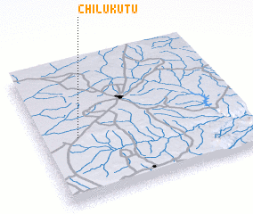 Places with similar names to Chilukutu, Zambia ::
// Chilcoot (US)
// Shelqet (AL)
// Chilekta (RU)
// Chālek Deh (IR)
// Chālī Kīādeh (IR)
// Chāl Kīādeh (IR)
// Cholqādī (IR)
// Chilcutt (US)
// Shelocta (US)
// Chāluākāti (BD)
Disclaimer :: Information on this page comes without warranty of any kind |
||
|
Where is Chilukutu? Elevation and coordinates ::
Latitude (lat): 14°32'0"S Longitude (lon): 28°11'0"E
Elevation (approx.): 1152m (map arrows pan, magnifying glasses zoom) |
||
|
Visiting Chilukutu? Hotel/Accommodation ::
Book a hotel in Chilukutu Travel Guide ::
Buy a travel guide for Zambia rental cars ::
car rental offers GPS waypoint ::
download a GPX waypoint (PoI) of Chilukutu for your GPS receiver
|
||