|
search place name
|
||
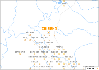
Chiseka (Eastern, Zambia)Chiseka is a town in the Eastern region of Zambia. An overview map of the region around Chiseka is displayed below.
regional and 3d topo map of Chiseka, Zambia ::
Chiseka airports ::
The nearest airport is MFU - Mfuwe, located 18.5 km south of Chiseka.
Other airports nearby include LLW - Lilongwe Kamuzu Intl (219.2 km east), Nearby towns ::
Mkoma (0.0km north) //
Mwizara (0.0km north) //
Maloma (1.8km west) //
Chilelemba (1.8km east) //
Mari (1.9km south) //
Salima (2.6km south west) //
Mkuli (3.7km south) //
Myembe (3.7km south) //
Katandi (5.2km south west) //
Mleya (5.6km south) //
Ndelemani (5.8km south) //
Nsefu (5.8km south) //
Mwanza (5.8km south) //
Aran (5.7km west) //
Daniel (5.7km west) //
Nyachiu (5.7km west) //
Kawanzi (6.6km south west) //
Chilemba (6.6km south west) //
Chilelere (6.6km south west) //
Yesaya (6.6km south east) //
Kakumbi (7.2km west) //
Aroni Chilongo (7.5km west) //
Barua (7.6km south) //
Nsamba (7.6km south) //
Tumbwe (7.6km south) //
Chiwawatala (7.6km south) //
Chikomangana (7.8km south east) //
Chintunzi (8.2km south east) //
Chikumba (8.2km south east) //
[all distances 'as the bird flies' and approximate] 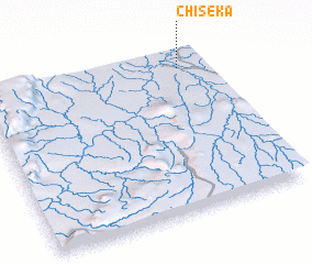 Places with similar names to Chiseka, Zambia ::
Disclaimer :: Information on this page comes without warranty of any kind |
||
|
Where is Chiseka? Elevation and coordinates ::
Latitude (lat): 13°6'0"S Longitude (lon): 31°53'0"E
Elevation (approx.): 532m (map arrows pan, magnifying glasses zoom) |
||
|
Visiting Chiseka? Hotel/Accommodation ::
Book a hotel in Chiseka Travel Guide ::
Buy a travel guide for Zambia rental cars ::
car rental offers GPS waypoint ::
download a GPX waypoint (PoI) of Chiseka for your GPS receiver
|
||