|
search place name
|
||
Kamandisa (Western, Zambia)Kamandisa is a town in the Western region of Zambia. An overview map of the region around Kamandisa is displayed below.
regional and 3d topo map of Kamandisa, Zambia ::
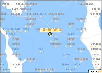
Nearby towns ::
Mulite (0.0km north) //
Lilwelo (0.0km north) //
Kwibisa (1.9km south) //
Atanga (1.9km south) //
Makanga (1.9km south) //
Namuyowa (1.8km east) //
Namuka katusi (2.6km south east) //
Siwi (2.6km south east) //
Mulambwesa (2.6km south east) //
Lilundu (2.6km south east) //
Nalumino (2.6km south east) //
Nalusa (2.6km north east) //
Nalusinga (4.0km north west) //
Likwanga (4.0km north west) //
Sisangombe (4.1km south east) //
Katusi (5.8km north) //
Sola (6.6km south west) //
Imakumbiri (6.5km south east) //
Kalima (7.2km east) //
Batuke (7.2km east) //
Mwenda (7.4km east) //
Mukulwakashiko (7.6km north) //
Mokamba (7.6km north) //
Indilonga (8.1km north west) //
Nganga (8.1km north west) //
Nalubutu (8.2km north west) //
Lealui (8.2km north west) //
Mulumbo (8.1km south east) //
Muimui (8.1km north east) //
[all distances 'as the bird flies' and approximate] 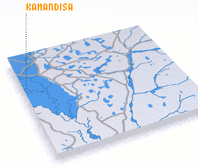 Places with similar names to Kamandisa, Zambia ::
Disclaimer :: Information on this page comes without warranty of any kind |
||
|
Where is Kamandisa? Elevation and coordinates ::
Latitude (lat): 15°16'0"S Longitude (lon): 23°2'0"E
Elevation (approx.): 1014m (map arrows pan, magnifying glasses zoom) |
||
|
Visiting Kamandisa? Hotel/Accommodation ::
Book a hotel in Kamandisa Travel Guide ::
Buy a travel guide for Zambia rental cars ::
car rental offers GPS waypoint ::
download a GPX waypoint (PoI) of Kamandisa for your GPS receiver
|
||