|
search place name
|
||
Kanjengo (Western, Zambia)Kanjengo is a town in the Western region of Zambia. An overview map of the region around Kanjengo is displayed below.
regional and 3d topo map of Kanjengo, Zambia ::
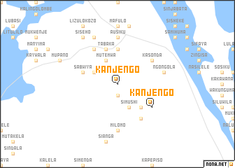
Nearby towns ::
Namushi (1.9km south) //
Katete (1.9km south) //
Simushi (4.1km south east) //
Simenda (4.1km south east) //
Makeka (4.1km south east) //
Munarura (4.1km south east) //
Kakula (4.1km north west) //
Imutonga (4.1km north west) //
Mutemwa (4.1km north west) //
Musaka (4.0km north west) //
Mwiya (4.0km north west) //
Tobolo (5.1km south east) //
Katungu (5.6km north) //
Sabwiya (5.7km west) //
Tabaka (5.8km north) //
Likaula (6.6km south east) //
Kanjengo (6.5km south east) //
Kasonda (6.5km north east) //
Mukosha (6.6km north west) //
Kozo (6.6km north west) //
Milomo (7.4km south) //
Ausiku (7.4km north) //
Ngongola (7.4km east) //
Kangumu (7.4km east) //
Kawenya (8.2km north west) //
Kasumbi (8.2km north west) //
Siseho (9.1km north west) //
[all distances 'as the bird flies' and approximate] 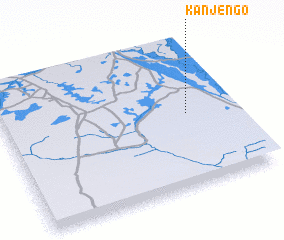 Places with similar names to Kanjengo, Zambia ::
Disclaimer :: Information on this page comes without warranty of any kind |
||
|
Where is Kanjengo? Elevation and coordinates ::
Latitude (lat): 15°30'0"S Longitude (lon): 22°48'0"E
Elevation (approx.): 1050m (map arrows pan, magnifying glasses zoom) |
||
|
Visiting Kanjengo? Hotel/Accommodation ::
Book a hotel in Kanjengo Travel Guide ::
Buy a travel guide for Zambia rental cars ::
car rental offers GPS waypoint ::
download a GPX waypoint (PoI) of Kanjengo for your GPS receiver
|
||