|
search place name
|
||
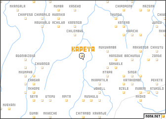
Kapeya (Eastern, Zambia)Kapeya is a town in the Eastern region of Zambia. An overview map of the region around Kapeya is displayed below.
regional and 3d topo map of Kapeya, Zambia ::
Kapeya airports ::
The nearest airport is MFU - Mfuwe, located 86.9 km north of Kapeya.
Other airports nearby include LLW - Lilongwe Kamuzu Intl (215.8 km east), Nearby towns ::
Mukuwamba (5.7km east) //
Mnthanzi (5.7km east) //
Chilembwe (5.8km north) //
Kagona (6.6km south east) //
Mkapatila (6.6km south east) //
Kabiliwili (6.6km south east) //
Chimbuwa (6.6km south east) //
Mkoko (6.5km south east) //
Mtapa (6.5km south east) //
Enosi (6.5km south east) //
Mangowe (7.2km east) //
Kanjala (7.2km east) //
Karenga (7.6km north) //
Chule (7.6km north) //
Samwele (7.4km east) //
Jowell (8.2km south east) //
Mchilwa (9.2km north west) //
Chitsulo (10.3km north east) //
[all distances 'as the bird flies' and approximate] 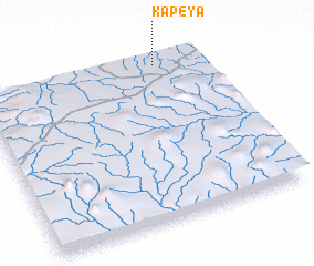 Places with similar names to Kapeya, Zambia ::
Disclaimer :: Information on this page comes without warranty of any kind |
||
|
Where is Kapeya? Elevation and coordinates ::
Latitude (lat): 14°2'0"S Longitude (lon): 31°48'0"E
Elevation (approx.): 910m (map arrows pan, magnifying glasses zoom) |
||
|
Visiting Kapeya? Hotel/Accommodation ::
Book a hotel in Kapeya Travel Guide ::
Buy a travel guide for Zambia rental cars ::
car rental offers GPS waypoint ::
download a GPX waypoint (PoI) of Kapeya for your GPS receiver
|
||