|
search place name
|
||
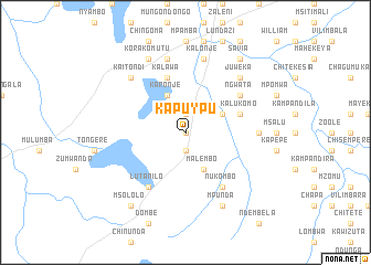
Kapuypu (Eastern, Zambia)Kapuypu is a town in the Eastern region of Zambia. An overview map of the region around Kapuypu is displayed below.
regional and 3d topo map of Kapuypu, Zambia ::
Kapuypu airports ::
The nearest airport is ZZU - Mzuzu, located 140.0 km north east of Kapuypu.
Other airports nearby include MFU - Mfuwe (163.5 km south west), LLW - Lilongwe Kamuzu Intl (169.9 km south east), Nearby towns ::
Kakonje (0.0km north) //
Chimtuta (1.9km north) //
Temba (1.9km south) //
Chilambula (4.1km north east) //
Kanyemba (4.1km north east) //
Karonje (4.1km north west) //
Malembo (4.1km south east) //
Kalukomo (5.7km east) //
Kalawa (5.8km north) //
Lutanilo (6.6km south west) //
Nukombo (6.6km south east) //
Ngwata (6.6km north east) //
Chipetuka (7.2km east) //
Chilazi (7.2km east) //
Kapilo (7.6km north) //
Katimo (7.6km north) //
Kalonje (7.6km north) //
Chizonga (7.6km north) //
Kaitondi (7.8km north west) //
Juweka (7.8km north east) //
Korakomutu (8.3km north west) //
Mpunda (8.2km south east) //
Savia (9.2km north east) //
Msololo (9.2km south west) //
[all distances 'as the bird flies' and approximate] 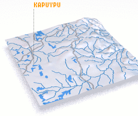 Places with similar names to Kapuypu, Zambia ::
Disclaimer :: Information on this page comes without warranty of any kind |
||
|
Where is Kapuypu? Elevation and coordinates ::
Latitude (lat): 12°23'0"S Longitude (lon): 33°9'0"E
Elevation (approx.): 1158m (map arrows pan, magnifying glasses zoom) |
||
|
Visiting Kapuypu? Hotel/Accommodation ::
Book a hotel in Kapuypu Travel Guide ::
Buy a travel guide for Zambia rental cars ::
car rental offers GPS waypoint ::
download a GPX waypoint (PoI) of Kapuypu for your GPS receiver
|
||