|
search place name
|
||
Lichilanda (Western, Zambia)Lichilanda is a town in the Western region of Zambia. An overview map of the region around Lichilanda is displayed below.
regional and 3d topo map of Lichilanda, Zambia ::

Nearby towns ::
Mafulo (0.0km north) //
Mataa (0.0km north) //
Sinjabata (0.0km north) //
Mwanakota (0.0km north) //
Kabukushu (0.0km north) //
Kayawe (0.0km north) //
Lukona (1.9km north) //
Sisheke (1.9km south) //
Nalungwana (1.9km south) //
Musheba (1.9km north) //
Kapule Musalikata (1.9km north) //
Mazike (1.9km south) //
Matale (1.9km south) //
Kapula (2.6km north west) //
Mubita Kalunde (2.6km north west) //
Chitoka (2.6km north west) //
Katusi (2.6km south east) //
Samihuma (3.7km south) //
Nakatenge (3.7km south) //
Mwanda (3.7km south) //
Kabulamakumba (3.7km south) //
Wainya (4.1km north west) //
Mboo (4.1km south east) //
Muletwa (5.1km north west) //
Mosunga (5.1km north east) //
Mopolota (5.1km north east) //
Mukonda (5.8km south) //
Nyamiana (5.8km south) //
Mubonda (5.8km south) //
[all distances 'as the bird flies' and approximate] 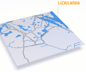 Places with similar names to Lichilanda, Zambia ::
// Lochland (US)
Disclaimer :: Information on this page comes without warranty of any kind |
||
|
Where is Lichilanda? Elevation and coordinates ::
Latitude (lat): 15°24'0"S Longitude (lon): 22°53'0"E
Elevation (approx.): 1018m (map arrows pan, magnifying glasses zoom) |
||
|
Visiting Lichilanda? Hotel/Accommodation ::
Book a hotel in Lichilanda Travel Guide ::
Buy a travel guide for Zambia rental cars ::
car rental offers GPS waypoint ::
download a GPX waypoint (PoI) of Lichilanda for your GPS receiver
|
||