|
search place name
|
||
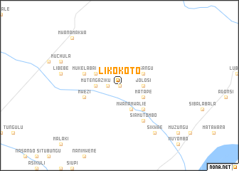
Likokoto (Western, Zambia)Likokoto is a town in the Western region of Zambia. An overview map of the region around Likokoto is displayed below.
regional and 3d topo map of Likokoto, Zambia ::
Likokoto airports ::
The nearest airport is BBK - Kasane, located 74.4 km south east of Likokoto.
Other airports nearby include LVI - Livingstone (120.1 km south east), VFA - Victoria Falls Intl (140.5 km south east), Nearby towns ::
Siloka (0.0km north) //
Muumi (0.0km north) //
Kalumba (1.8km west) //
Mutengaziku (3.5km west) //
Jolosi (3.5km east) //
Mwanamwalie (4.1km south east) //
Liyamine (4.0km north west) //
Matape (4.0km south east) //
Masangu (4.0km north east) //
Kanyemvu (4.0km north east) //
Kalundu (5.1km south east) //
Mwezi (5.6km west) //
Mukelabai (5.6km west) //
Siamutombo (6.6km south east) //
Sikwae (9.1km south east) //
Mwanamakwa (10.3km north west) //
[all distances 'as the bird flies' and approximate] 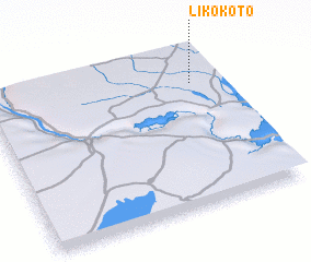 Places with similar names to Likokoto, Zambia ::
// La Coqueta (CO)
// La Coqueta (CO)
// Likokoto (ZM)
// Lukokoda (TZ)
// La Cagüita (VE)
// La Goguette (GP)
// Lugqod (SO)
// Lakai Kota (PK)
// Loccota (AU)
// Laikakota (BO)
Disclaimer :: Information on this page comes without warranty of any kind |
||
|
Where is Likokoto? Elevation and coordinates ::
Latitude (lat): 17°13'0"S Longitude (lon): 24°53'0"E
Elevation (approx.): 961m (map arrows pan, magnifying glasses zoom) |
||
|
Visiting Likokoto? Hotel/Accommodation ::
Book a hotel in Likokoto Travel Guide ::
Buy a travel guide for Zambia rental cars ::
car rental offers GPS waypoint ::
download a GPX waypoint (PoI) of Likokoto for your GPS receiver
|
||