|
search place name
|
||
Mahowa (Eastern, Zambia)Mahowa is a town in the Eastern region of Zambia. An overview map of the region around Mahowa is displayed below.
regional and 3d topo map of Mahowa, Zambia ::

Mahowa airports ::
The nearest airport is ZZU - Mzuzu, located 86.7 km east of Mahowa.
Other airports nearby include KGJ - Karonga (206.7 km north), MFU - Mfuwe (223.6 km south west), VXC - Lichinga (277.3 km south east), Nearby towns ::
Kazimbwe (1.8km east) //
Mwata (1.9km south) //
Mzungunika (2.6km north east) //
Kalunguzyanga (5.6km south) //
Mbango (6.6km north east) //
Kasosomore (6.6km south east) //
Kamsosomole (6.6km south east) //
Chibwana Mukhalipi (7.3km east) //
Kamuzi (7.4km south) //
Muwehule Kumwenda (7.5km east) //
Mbongo (7.5km west) //
Chibisa Chirwa (7.8km north east) //
Levi Mphanje (8.2km north east) //
Kasokera Kaunda (8.2km north east) //
Mbeya (8.3km north west) //
Chiwangu (9.2km south west) //
Msuka (9.2km north east) //
Kesale Nyanguru (9.2km north east) //
Runda Lusale (9.2km north east) //
Muchasuka Mwanza (10.4km south east) //
[all distances 'as the bird flies' and approximate] 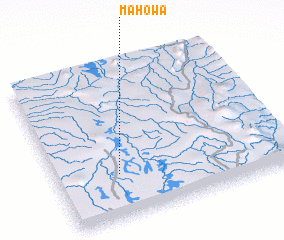 Places with similar names to Mahowa, Zambia ::
Disclaimer :: Information on this page comes without warranty of any kind |
||
|
Where is Mahowa? Elevation and coordinates ::
Latitude (lat): 11°43'0"S Longitude (lon): 33°16'0"E
Elevation (approx.): 1141m (map arrows pan, magnifying glasses zoom) |
||
|
Visiting Mahowa? Hotel/Accommodation ::
Book a hotel in Mahowa Travel Guide ::
Buy a travel guide for Zambia rental cars ::
car rental offers GPS waypoint ::
download a GPX waypoint (PoI) of Mahowa for your GPS receiver
|
||