|
search place name
|
||
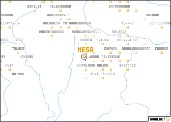
Mesa (Central, Zambia)Mesa is a town in the Central region of Zambia. An overview map of the region around Mesa is displayed below.
regional and 3d topo map of Mesa, Zambia ::
Mesa airports ::
The nearest airport is MFU - Mfuwe, located 117.9 km east of Mesa.
Nearby towns ::
Chipalashi (1.9km south) //
Jonam (1.8km east) //
Songea (1.8km east) //
Andersoni (1.8km east) //
Lulembo (1.8km east) //
Sululu (1.9km north) //
Mesheka (1.9km north) //
Thomas (1.9km north) //
Nabwale (1.9km north) //
Fulao (2.6km north east) //
Axon Chintu (3.6km east) //
Nachiwale (3.6km east) //
Malia (3.7km south) //
Nkunta (3.7km north) //
Maliko (4.1km south east) //
Namiselo (4.1km north west) //
Morton Muselo (5.2km south east) //
Katuta (5.2km north east) //
Pelesenje (5.4km east) //
Nata (5.4km east) //
Sebuloni Sambwa (5.6km north) //
Kali Konge (5.7km east) //
Chipupu (5.7km east) //
Lasalo Ngosa (5.8km north) //
Danyele Mulila (7.2km east) //
Joni Kafwenya (7.2km east) //
Peleka (7.2km east) //
Pasinge Kasemba (7.5km east) //
Yotam Wasomboka (7.6km north) //
[all distances 'as the bird flies' and approximate] 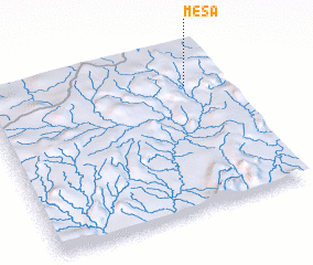 Places with similar names to Mesa, Zambia ::
Disclaimer :: Information on this page comes without warranty of any kind |
||
|
Where is Mesa? Elevation and coordinates ::
Latitude (lat): 13°13'0"S Longitude (lon): 30°51'0"E
Elevation (approx.): 1382m (map arrows pan, magnifying glasses zoom) |
||
|
Visiting Mesa? Hotel/Accommodation ::
Book a hotel in Mesa Travel Guide ::
Buy a travel guide for Zambia rental cars ::
car rental offers GPS waypoint ::
download a GPX waypoint (PoI) of Mesa for your GPS receiver
|
||