|
search place name
|
||
Muninyi (Western, Zambia)Muninyi is a town in the Western region of Zambia. An overview map of the region around Muninyi is displayed below.
regional and 3d topo map of Muninyi, Zambia ::
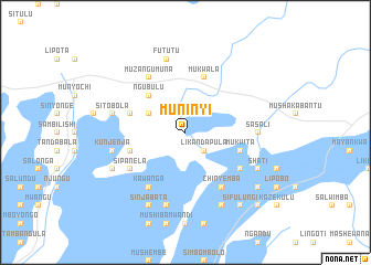
Nearby towns ::
Likandapula (2.6km south east) //
Kambuze (4.0km north west) //
Ngubulu (5.2km north west) //
Mbandu (5.7km east) //
Mukwita (5.7km east) //
Liambombola (5.7km east) //
Kazungo (5.7km east) //
Chanduka (5.7km west) //
Mukwala (5.8km north) //
Kanguya (5.7km west) //
Chipoya (5.7km west) //
Limbangala (5.7km west) //
Liendo (6.5km south east) //
Likonde (6.5km south east) //
Musuta (6.5km south west) //
Chakala (6.5km south west) //
Sipanela (6.5km south west) //
Kawanga (6.6km south west) //
Kandombwe (6.6km south west) //
Bichakana (6.6km north west) //
Muzangumuna (6.6km north west) //
Chinyemba (6.6km south east) //
Sasali (7.2km east) //
Sabimbu (7.2km east) //
Lipumbu (7.6km south) //
Kwalombota (7.6km south) //
Kunjenja (7.4km west) //
Sitobola (7.4km west) //
Fututu (7.6km north) //
[all distances 'as the bird flies' and approximate] 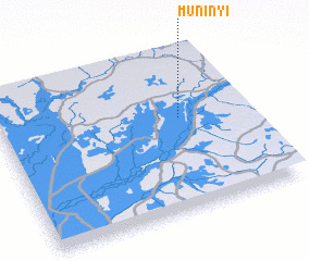
Disclaimer :: Information on this page comes without warranty of any kind |
||
|
Where is Muninyi? Elevation and coordinates ::
Latitude (lat): 14°25'0"S Longitude (lon): 23°44'0"E
Elevation (approx.): 1054m (map arrows pan, magnifying glasses zoom) |
||
|
Visiting Muninyi? Hotel/Accommodation ::
Book a hotel in Muninyi Travel Guide ::
Buy a travel guide for Zambia rental cars ::
car rental offers GPS waypoint ::
download a GPX waypoint (PoI) of Muninyi for your GPS receiver
|
||