|
search place name
|
||
Mwananyanda (Western, Zambia)Mwananyanda is a town in the Western region of Zambia. An overview map of the region around Mwananyanda is displayed below.
regional and 3d topo map of Mwananyanda, Zambia ::
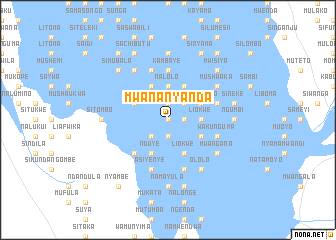
Nearby towns ::
Tenda (0.0km north) //
Mokwae Nolyanga (1.9km north) //
Matakala (1.8km east) //
Lubinda (1.8km east) //
Mbulanjili (1.9km south) //
Mwendabai (1.9km south) //
Kambaye (2.6km north east) //
Akaaiwa (2.6km south west) //
Muyumbana (3.6km east) //
Nalolo (3.7km north) //
Liokwe (3.6km east) //
Sinjem Elo (4.0km north east) //
Sambole (4.0km north east) //
Mwiya (4.1km north east) //
Luanda (4.1km north west) //
Ailola (4.1km north west) //
Ndiyo (4.1km north west) //
Mayekabu (4.0km south east) //
Sitali (4.0km north west) //
Liokwe (4.1km south east) //
Nduye (4.1km south west) //
Lubinda (5.1km south west) //
Kambaye (5.6km north) //
Muyundekwa (5.7km east) //
Imbowa (5.8km south) //
Nangoma (5.8km north) //
Asiyenye (5.8km south) //
Wakunguma (5.7km east) //
Mukata (5.7km east) //
[all distances 'as the bird flies' and approximate] 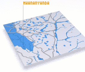 Places with similar names to Mwananyanda, Zambia ::
Disclaimer :: Information on this page comes without warranty of any kind |
||
|
Where is Mwananyanda? Elevation and coordinates ::
Latitude (lat): 15°35'0"S Longitude (lon): 23°7'0"E
Elevation (approx.): 1007m (map arrows pan, magnifying glasses zoom) |
||
|
Visiting Mwananyanda? Hotel/Accommodation ::
Book a hotel in Mwananyanda Travel Guide ::
Buy a travel guide for Zambia rental cars ::
car rental offers GPS waypoint ::
download a GPX waypoint (PoI) of Mwananyanda for your GPS receiver
|
||