|
search place name
|
||
Samafulo (Western, Zambia)Samafulo is a town in the Western region of Zambia. An overview map of the region around Samafulo is displayed below.
regional and 3d topo map of Samafulo, Zambia ::

Samafulo airports ::
The nearest airport is BBK - Kasane, located 186.5 km south of Samafulo.
Other airports nearby include LVI - Livingstone (207.9 km south east), VFA - Victoria Falls Intl (235.7 km south east), Nearby towns ::
Sachelo (0.0km north) //
Sikatengwa (1.8km west) //
Mwanwa (1.8km west) //
Makesa (2.6km south east) //
Liambika (3.6km west) //
Ndema (3.6km west) //
Sachumpa (5.1km south west) //
Nyundu (5.1km north west) //
Sachumpa (5.3km west) //
Kakondo (6.6km north west) //
Simangolwa (7.4km south) //
Sanyamka (7.6km south) //
Sokobo (7.6km south) //
[all distances 'as the bird flies' and approximate] 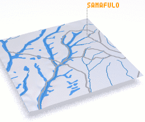 Places with similar names to Samafulo, Zambia ::
// Simi Valley (US)
// Sommavilla (IT)
// Símvola (GR)
// Simvolí (GR)
// Samovila (BG)
// Samvula (ZM)
// Somāghlū (IR)
// Sommeval (FR)
// Xóm Phú Lới (VN)
// Sommeville (FR)
Disclaimer :: Information on this page comes without warranty of any kind |
||
|
Where is Samafulo? Elevation and coordinates ::
Latitude (lat): 16°10'0"S Longitude (lon): 24°54'0"E
Elevation (approx.): 1159m (map arrows pan, magnifying glasses zoom) |
||
|
Visiting Samafulo? Hotel/Accommodation ::
Book a hotel in Samafulo Travel Guide ::
Buy a travel guide for Zambia rental cars ::
car rental offers GPS waypoint ::
download a GPX waypoint (PoI) of Samafulo for your GPS receiver
|
||