|
search place name
|
||
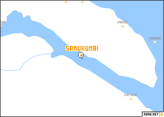
Samukumbi (Western, Zambia)Samukumbi is a town in the Western region of Zambia. An overview map of the region around Samukumbi is displayed below.
regional and 3d topo map of Samukumbi, Zambia ::
Nearby towns ::
[all distances 'as the bird flies' and approximate]  Places with similar names to Samukumbi, Zambia ::
// Samhkam (MM)
// Sumka Uma (MM)
// Samkom (NO)
// Semigamy (UA)
// Samba-Koumba (CF)
// Soumagoum (TD)
// Sembagama (LK)
// Samia Goma (NE)
// Samukimba (ZM)
// Samukuma (ZM)
Disclaimer :: Information on this page comes without warranty of any kind |
||
|
Where is Samukumbi? Elevation and coordinates ::
Latitude (lat): 13°49'0"S Longitude (lon): 22°22'0"E
Elevation (approx.): 1057m (map arrows pan, magnifying glasses zoom) |
||
|
Visiting Samukumbi? Hotel/Accommodation ::
Book a hotel in Samukumbi Travel Guide ::
Buy a travel guide for Zambia rental cars ::
car rental offers GPS waypoint ::
download a GPX waypoint (PoI) of Samukumbi for your GPS receiver
|
||