|
search place name
|
||
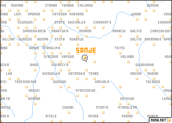
Sanje (Eastern, Zambia)Sanje is a town in the Eastern region of Zambia. An overview map of the region around Sanje is displayed below.
regional and 3d topo map of Sanje, Zambia ::
Sanje airports ::
The nearest airport is MFU - Mfuwe, located 139.2 km north east of Sanje.
Nearby towns ::
Katemo (1.9km south) //
Siundi (1.8km east) //
Chitimba (1.8km east) //
Mteya (1.9km north) //
Mkopeka (2.6km north west) //
Goviyana (2.6km north east) //
Mashala (3.7km south) //
Kafusa (3.6km west) //
Chivunga (3.6km west) //
Aron (4.1km south west) //
Koyongwe (4.1km south west) //
Katakwe (4.0km south west) //
Mpuwe (4.1km south east) //
Tembo (4.1km south east) //
Kayimfwa (4.0km north west) //
Muwenje (4.1km north west) //
Nemano (5.6km north) //
Kalengama (5.4km west) //
Kayanzya (5.7km west) //
Kapala (5.8km north) //
Mtumpa (5.7km west) //
Msinkila (6.6km south west) //
Kamwiri (6.6km south east) //
Kanjala (6.6km south east) //
Ntuta (6.5km north west) //
Nyanzingwe (7.4km south) //
Nyazoma (7.2km west) //
Kuli (7.4km north) //
Mowenje (7.4km north) //
[all distances 'as the bird flies' and approximate] 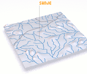 Places with similar names to Sanje, Zambia ::
Disclaimer :: Information on this page comes without warranty of any kind |
||
|
Where is Sanje? Elevation and coordinates ::
Latitude (lat): 14°25'0"S Longitude (lon): 31°26'0"E
Elevation (approx.): 1002m (map arrows pan, magnifying glasses zoom) |
||
|
Visiting Sanje? Hotel/Accommodation ::
Book a hotel in Sanje Travel Guide ::
Buy a travel guide for Zambia rental cars ::
car rental offers GPS waypoint ::
download a GPX waypoint (PoI) of Sanje for your GPS receiver
|
||