|
search place name
|
||
Shipalamangula (Western, Zambia)Shipalamangula is a town in the Western region of Zambia. An overview map of the region around Shipalamangula is displayed below.
regional and 3d topo map of Shipalamangula, Zambia ::
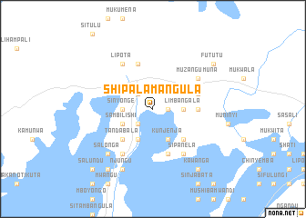
Nearby towns ::
Sitobola (1.8km east) //
Munyochi (2.6km north west) //
Mukangwe (2.6km south west) //
Mushukila (3.6km west) //
Sinyonge (3.6km west) //
Kanika (3.6km west) //
Kanguya (3.6km east) //
Limbangala (3.6km east) //
Chipoya (3.6km east) //
Lilete (4.1km south west) //
Sambilishi (4.0km south west) //
Kanganyama (4.0km south west) //
Fulungwe (4.0km south west) //
Mulowa (4.0km south west) //
Kunjenja (4.1km south east) //
Tandabala (5.2km south west) //
Sikwiza (5.2km south west) //
Sooka (5.2km south west) //
Mwenenyati (5.2km south west) //
Chanduka (5.2km south east) //
Kambuze (5.4km east) //
Kaumba (5.8km south) //
Muwika (5.8km south) //
Kapalo (5.8km south) //
Kasoka (5.8km south) //
Muhini (5.8km south) //
Kawisha (5.8km north) //
Ngubulu (5.7km east) //
Matofu (6.6km south west) //
[all distances 'as the bird flies' and approximate] 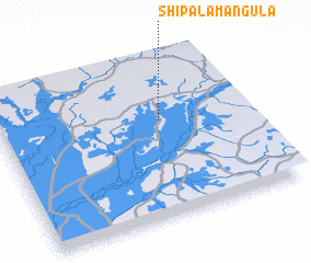 Places with similar names to Shipalamangula, Zambia :: Disclaimer :: Information on this page comes without warranty of any kind |
||
|
Where is Shipalamangula? Elevation and coordinates ::
Latitude (lat): 14°24'0"S Longitude (lon): 23°39'0"E
Elevation (approx.): 1067m (map arrows pan, magnifying glasses zoom) |
||
|
Visiting Shipalamangula? Hotel/Accommodation ::
Book a hotel in Shipalamangula Travel Guide ::
Buy a travel guide for Zambia rental cars ::
car rental offers GPS waypoint ::
download a GPX waypoint (PoI) of Shipalamangula for your GPS receiver
|
||