|
search place name
|
||
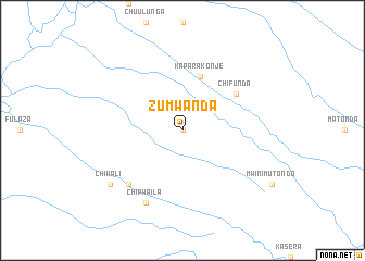
Zumwanda (Eastern, Zambia)Zumwanda is a town in the Eastern region of Zambia. An overview map of the region around Zumwanda is displayed below.
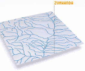
regional and 3d topo map of Zumwanda, Zambia ::
Zumwanda airports ::
The nearest airport is MFU - Mfuwe, located 162.6 km south west of Zumwanda.
Other airports nearby include ZZU - Mzuzu (164.8 km east), LLW - Lilongwe Kamuzu Intl (243.0 km south east), KGJ - Karonga (261.6 km north east), Nearby towns ::
 Places with similar names to Zumwanda, Zambia ::
// Saimbwanda (CD)
// Saimbwanda (CD)
// Saimbwanda (CD)
// Samwanda (CD)
// Samwenda (ZM)
// Zumwanda (ZM)
Disclaimer :: Information on this page comes without warranty of any kind |
||
|
Where is Zumwanda? Elevation and coordinates ::
Latitude (lat): 11°56'0"S Longitude (lon): 32°35'0"E
Elevation (approx.): 659m (map arrows pan, magnifying glasses zoom) |
||
|
Visiting Zumwanda? Hotel/Accommodation ::
Book a hotel in Zumwanda Travel Guide ::
Buy a travel guide for Zambia rental cars ::
car rental offers GPS waypoint ::
download a GPX waypoint (PoI) of Zumwanda for your GPS receiver
|
||