|
search place name
|
||
Ihebo (Tanzania)Ihebo is a town in Tanzania. An overview map of the region around Ihebo is displayed below.
regional and 3d topo map of Ihebo, Tanzania ::

Ihebo airports ::
The nearest airport is MWZ - Mwanza, located 49.5 km south of Ihebo.
Other airports nearby include KIS - Kisumu (294.9 km north east), Nearby towns ::
Mugu (4.1km north east) //
Muriti (4.1km north east) //
Bwiru (5.2km south west) //
Bugura (5.6km south) //
Ilangala (6.7km north west) //
Chankamba (6.7km south east) //
Nakamwa (6.7km north east) //
Bukonyo (7.9km north east) //
Buhima (8.3km south east) //
Busagami (8.3km north east) //
Mibungo (8.3km north east) //
Lubaga (9.3km north east) //
Igala Rutale (9.3km south east) //
[all distances 'as the bird flies' and approximate] 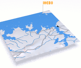
Disclaimer :: Information on this page comes without warranty of any kind |
||
|
Where is Ihebo? Elevation and coordinates ::
Latitude (lat): 2°0'0"S Longitude (lon): 32°53'0"E
Elevation (approx.): 1132m (map arrows pan, magnifying glasses zoom) |
||
|
Visiting Ihebo? Hotel/Accommodation ::
Book a hotel in Ihebo Travel Guide ::
Buy a travel guide for Tanzania rental cars ::
car rental offers GPS waypoint ::
download a GPX waypoint (PoI) of Ihebo for your GPS receiver
|
||