|
search place name
|
||
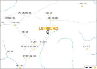
Lukangazi (Tanzania)Lukangazi is a town in Tanzania. An overview map of the region around Lukangazi is displayed below.
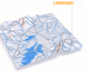
regional and 3d topo map of Lukangazi, Tanzania ::
Lukangazi airports ::
The nearest airport is DAR - Dar Es Salaam Mwalimu Julius K Nyerere Intl, located 144.1 km east of Lukangazi.
Other airports nearby include ZNZ - Zanzibar (161.4 km north east), TGT - Tanga (232.1 km north east), PMA - Pemba (274.1 km north east), Nearby towns ::
 Places with similar names to Lukangazi, Tanzania ::
Disclaimer :: Information on this page comes without warranty of any kind |
||
|
Where is Lukangazi? Elevation and coordinates ::
Latitude (lat): 6°50'0"S Longitude (lon): 37°54'0"E
Elevation (approx.): 374m (map arrows pan, magnifying glasses zoom) |
||
|
Visiting Lukangazi? Hotel/Accommodation ::
Book a hotel in Lukangazi Travel Guide ::
Buy a travel guide for Tanzania rental cars ::
car rental offers GPS waypoint ::
download a GPX waypoint (PoI) of Lukangazi for your GPS receiver
|
||